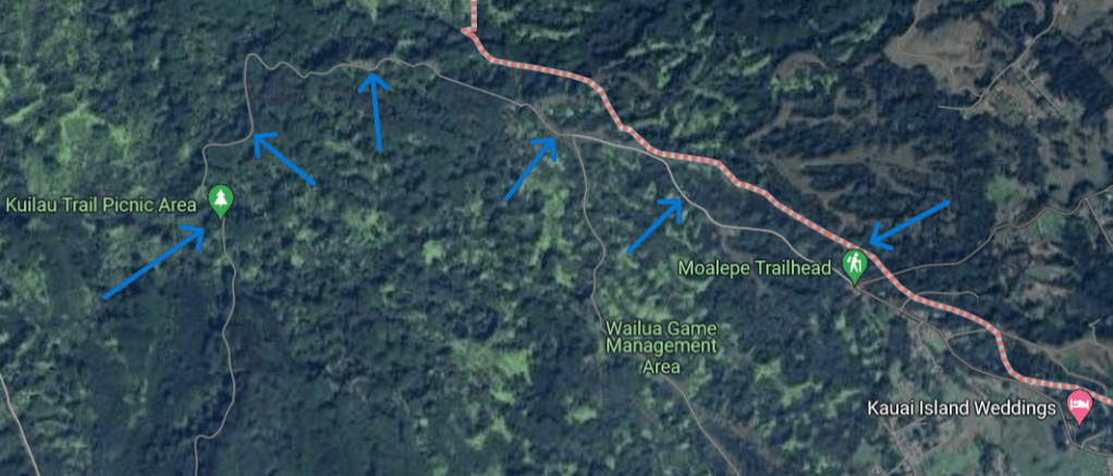
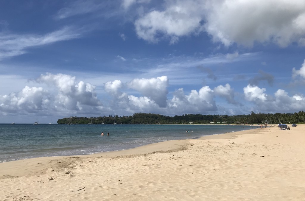
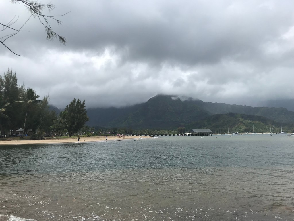
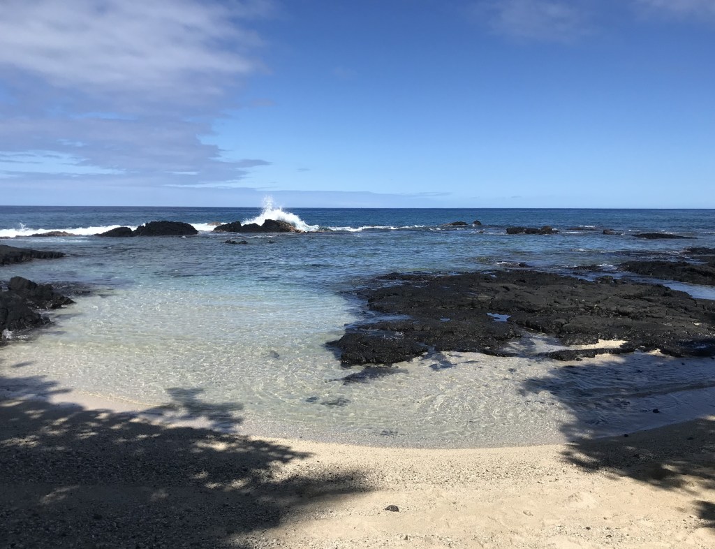
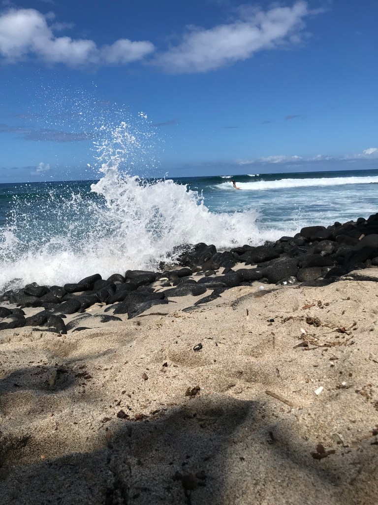
July 31-August 2, 2024 and August 3rd to 13th

Anini Beach Park

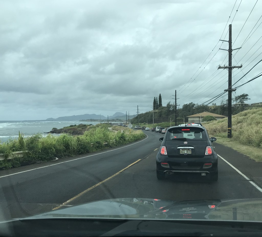
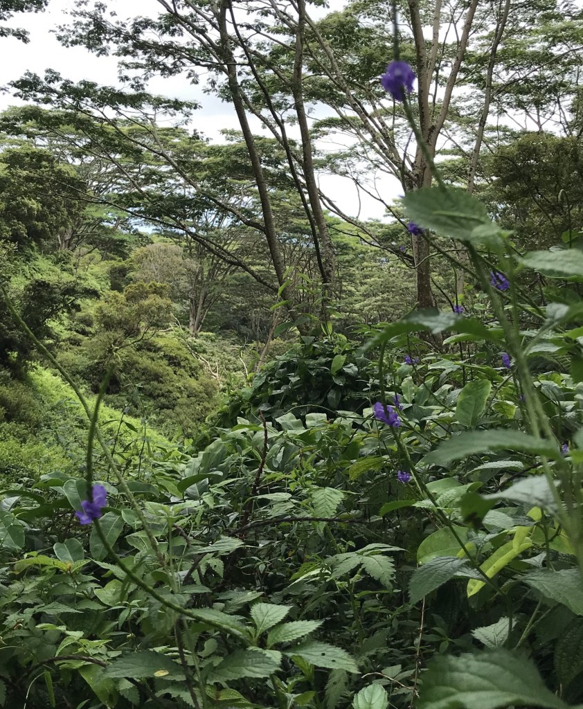
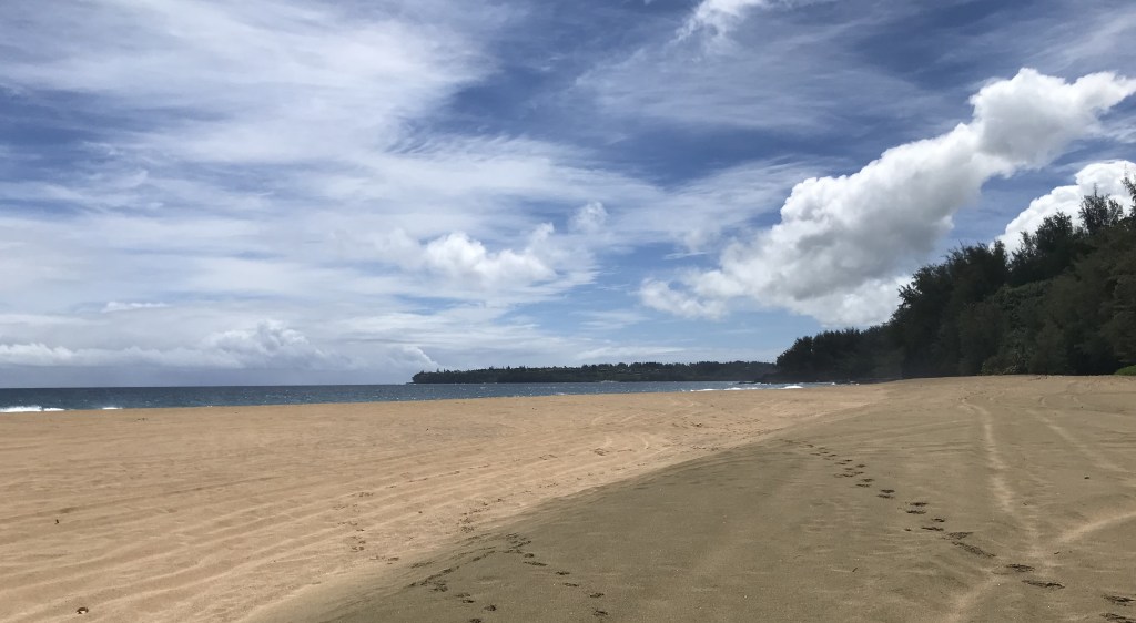
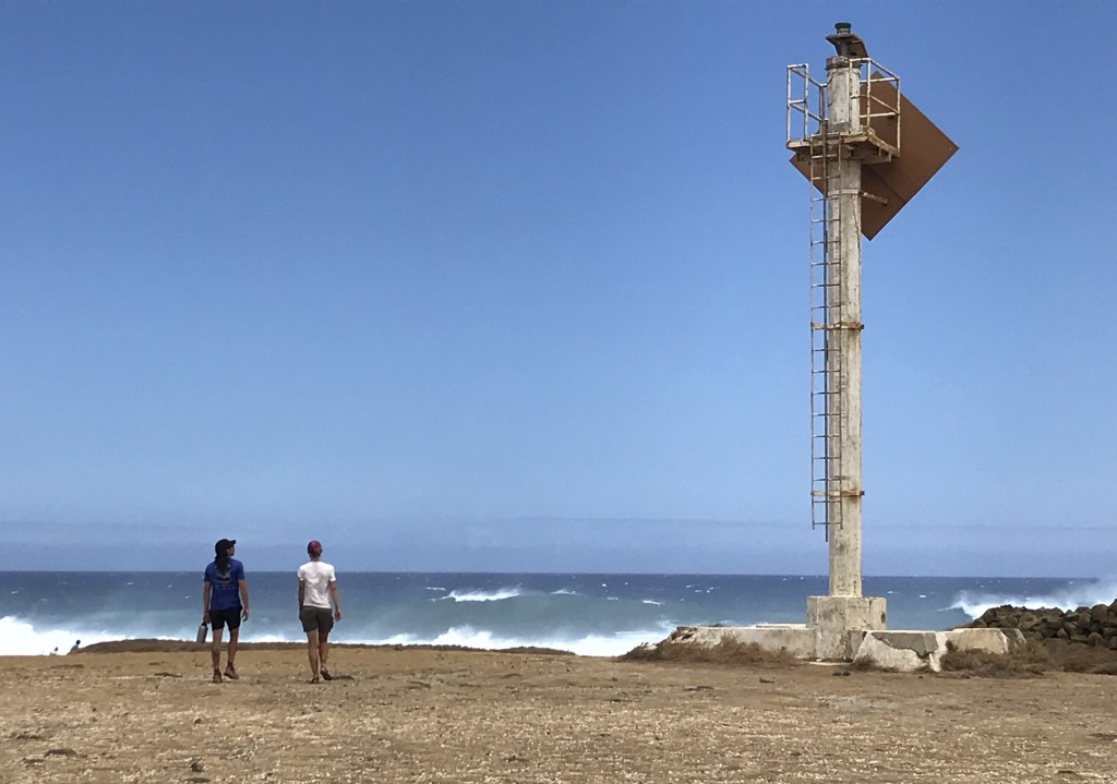
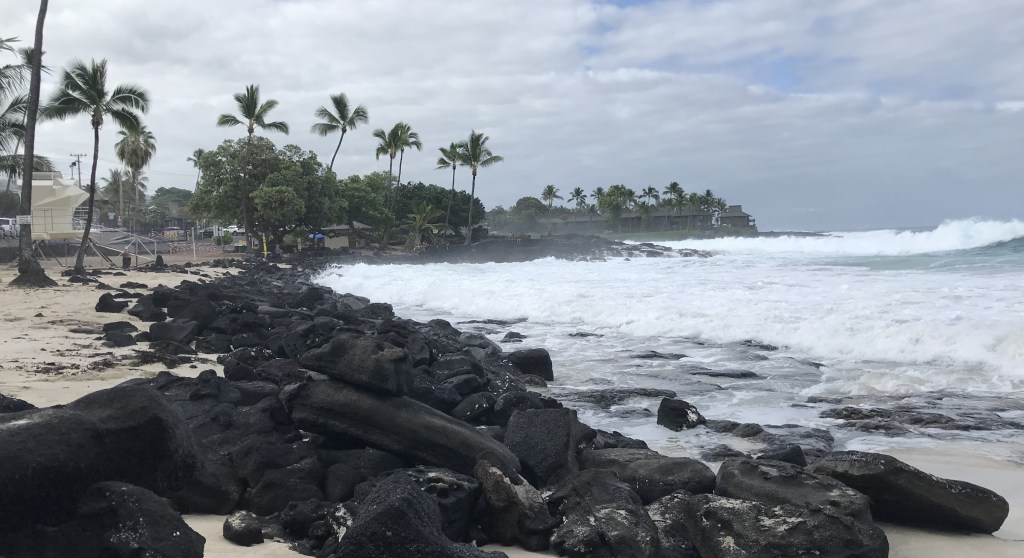
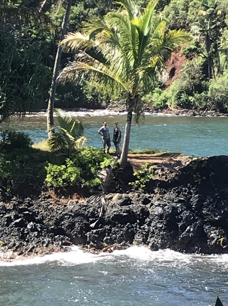
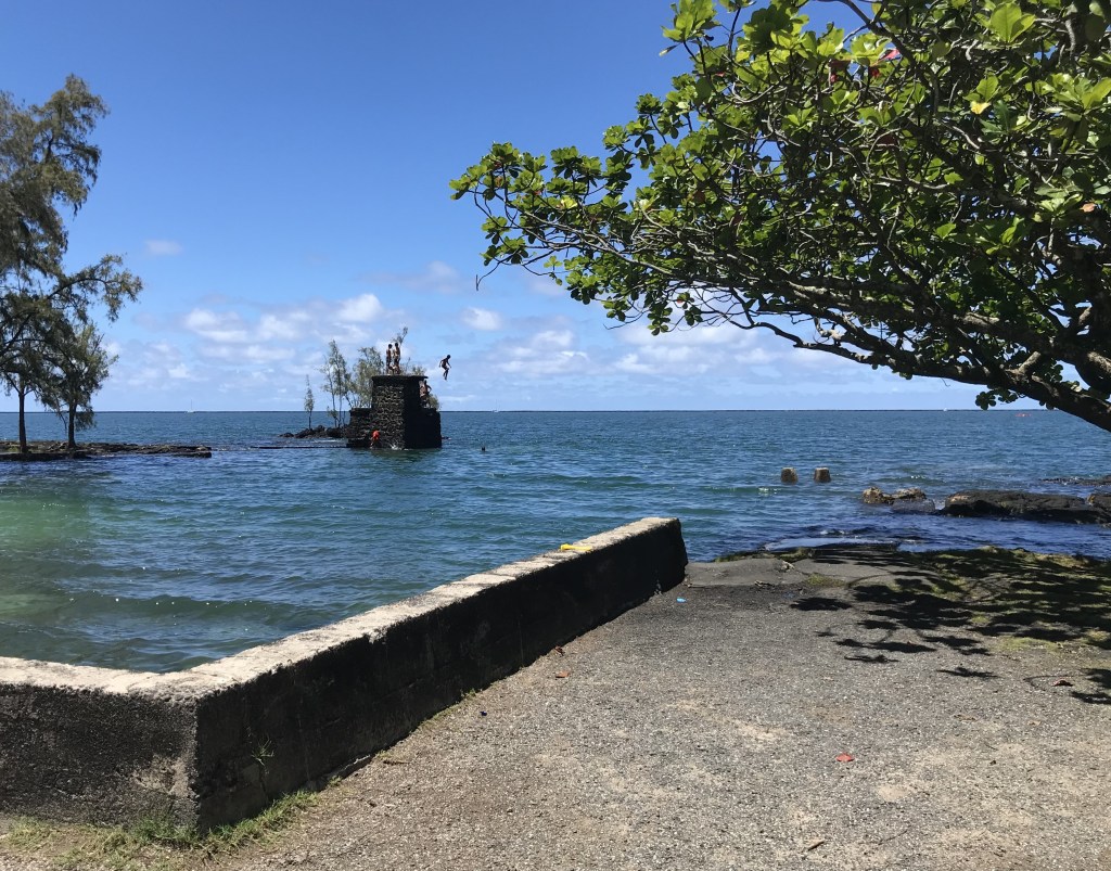
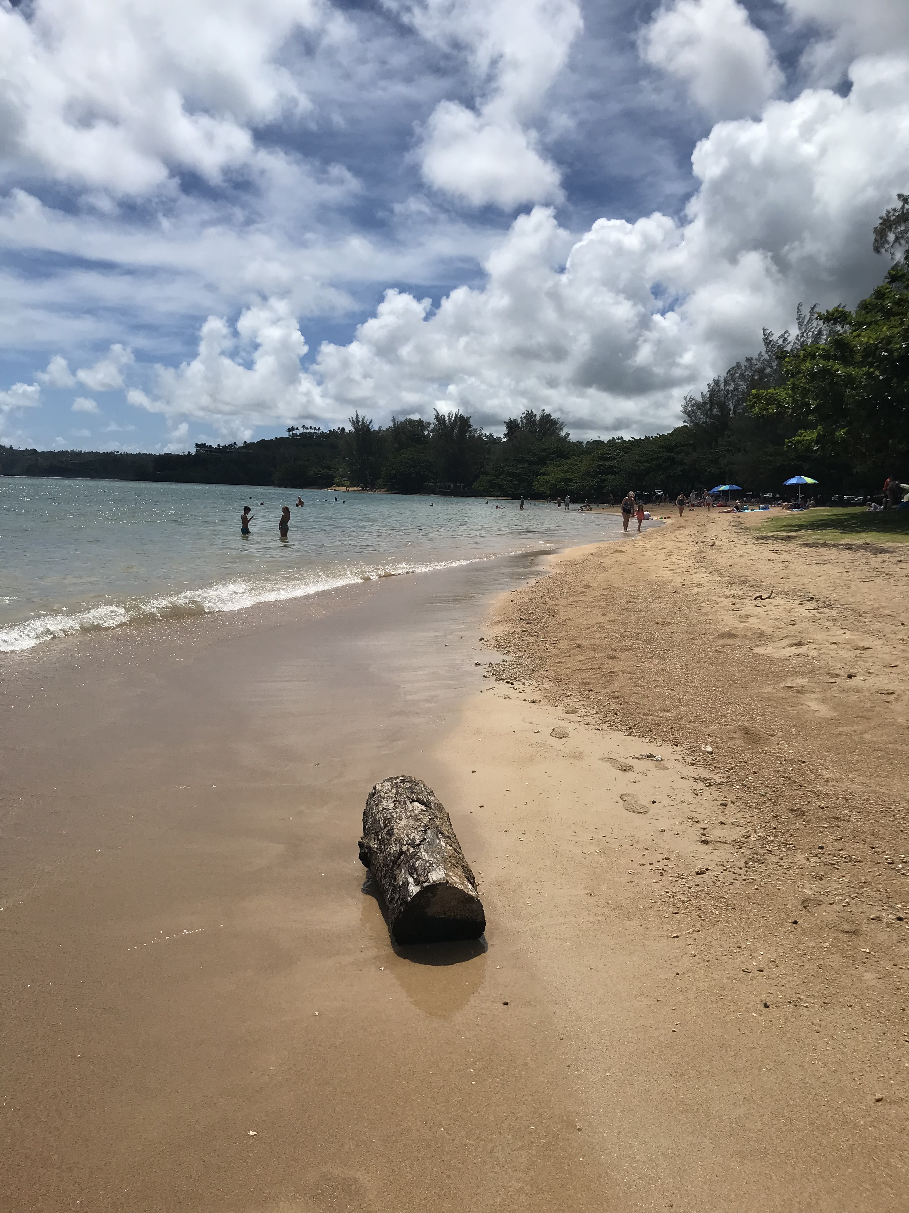
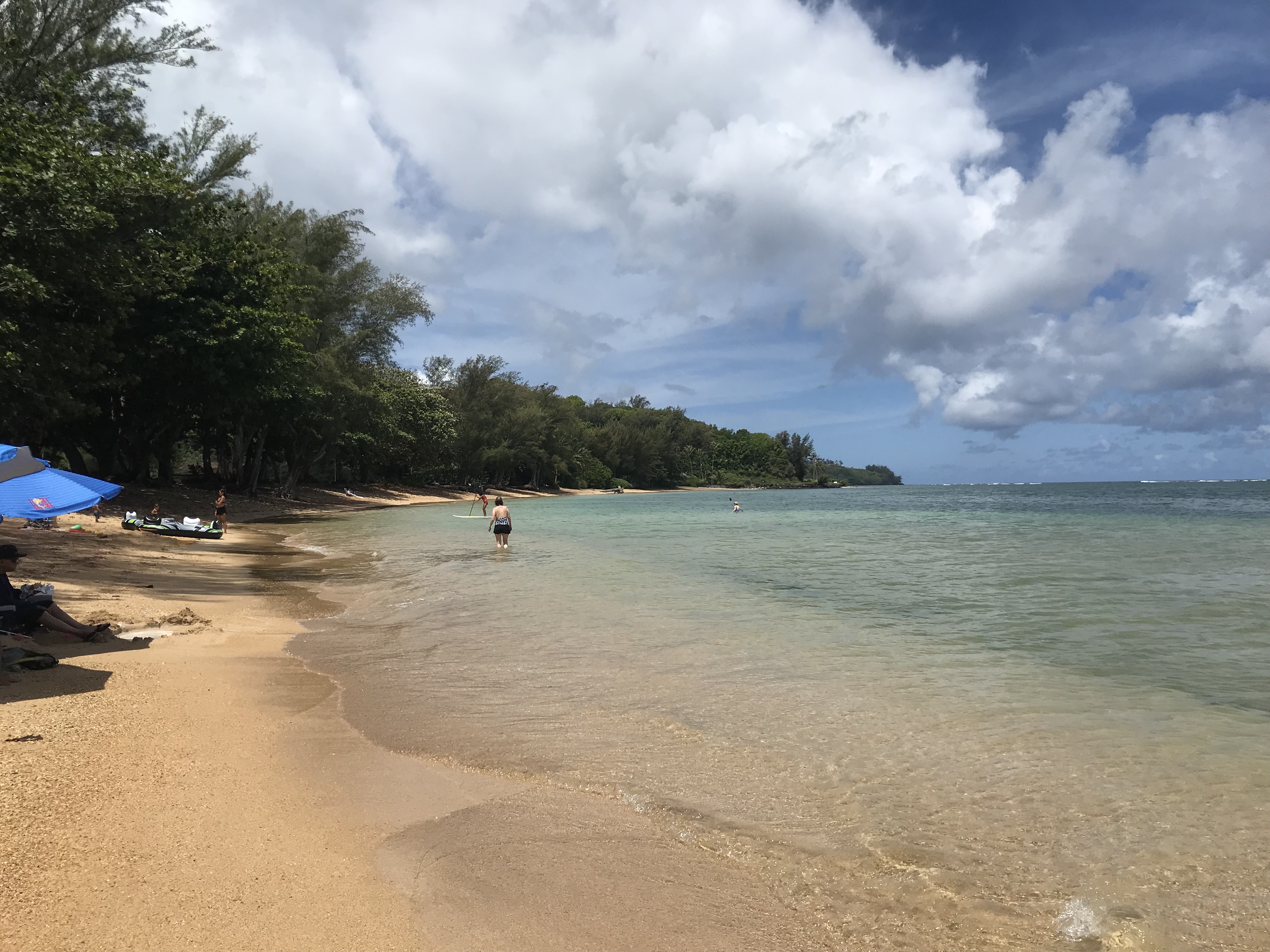
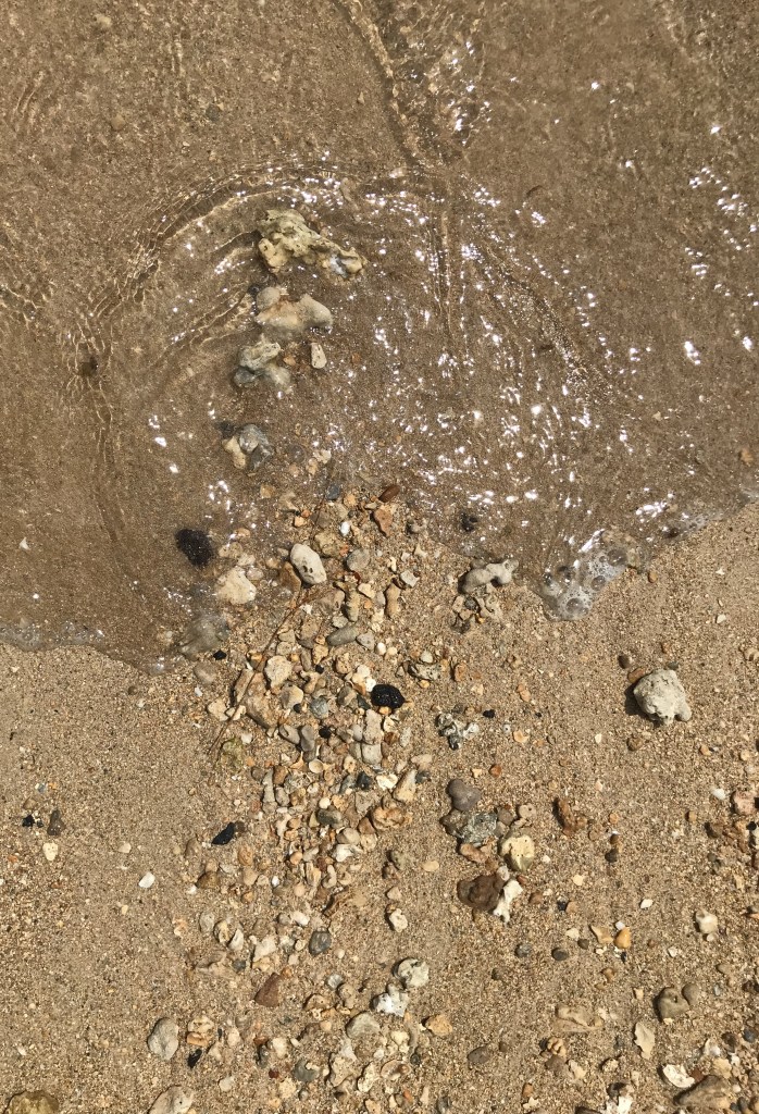
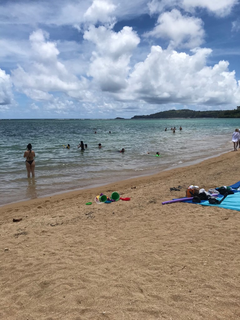
Anini Beach is a 2.5-mile long, sandy beach on the north shore of Kauai. Anini Beach boasts gorgeous white sands, excellent surf, and a stretch of coast that is as private as it gets. Once home to a Hawaiian fishing village and sugar-plantation workers in Hanalei, the island’s most famous white sand beach with the calmest waters offers excellent snorkeling, swimming, kayaking, and windsurfing when conditions are good. Anini’s vast reef helps calm the waves that would otherwise crash into shore, making it very suitable for beginner surfers and kids. Besides this beach’s beauty, come to enjoy the beach’s activities.
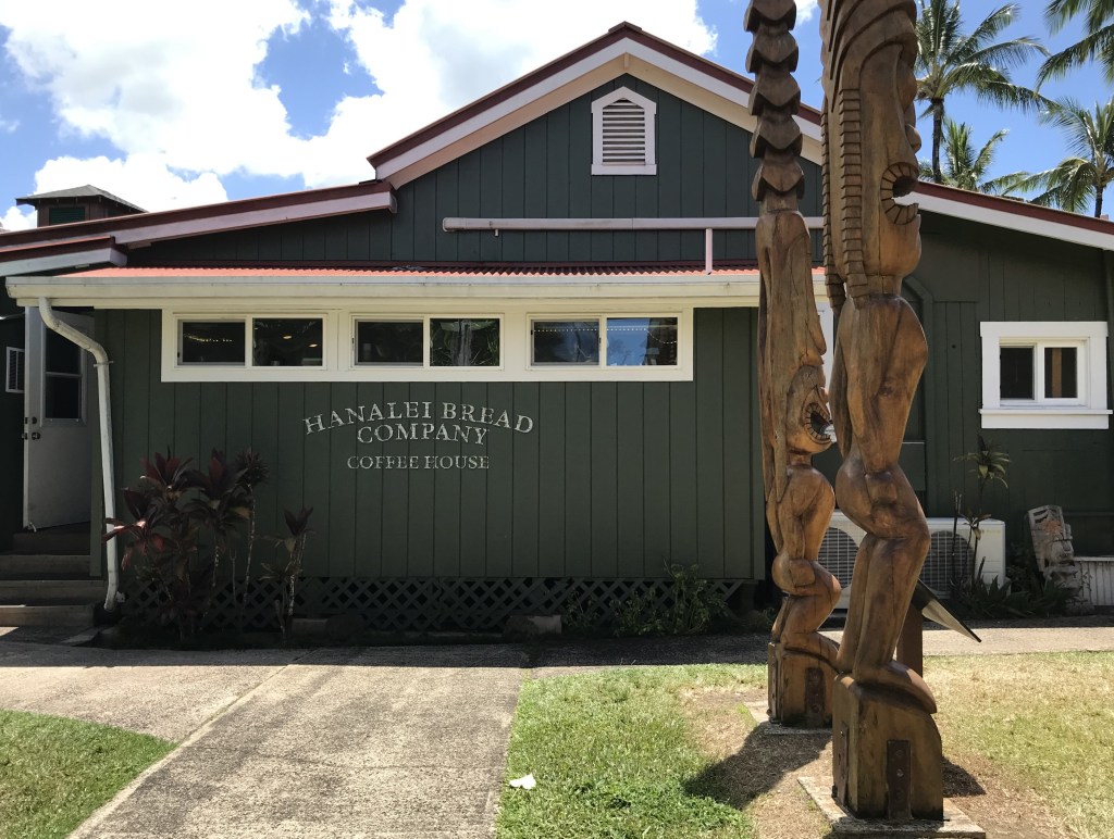
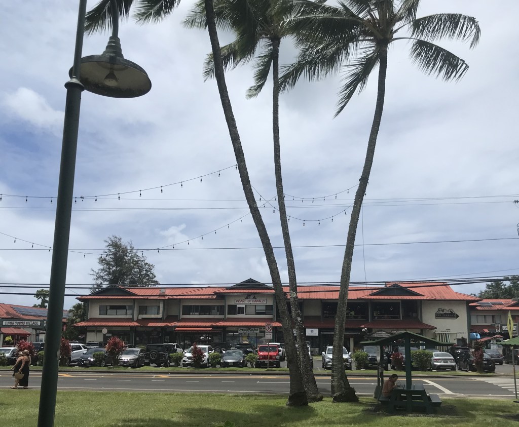
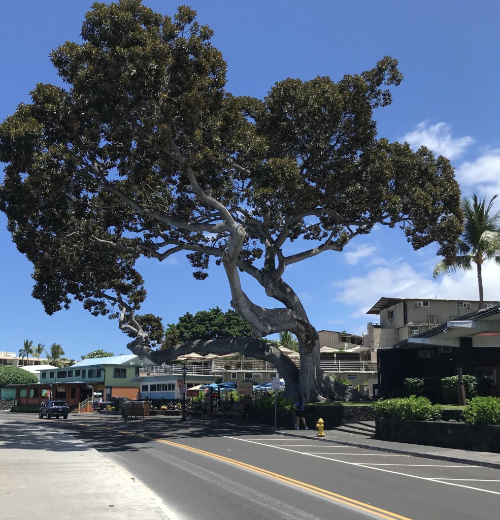
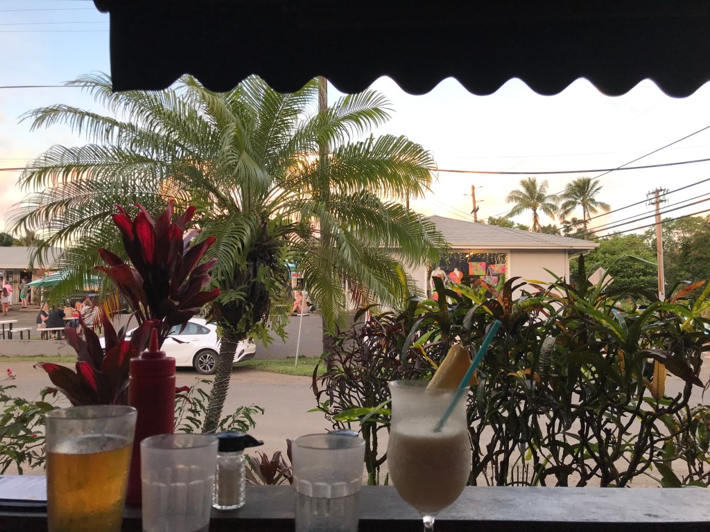
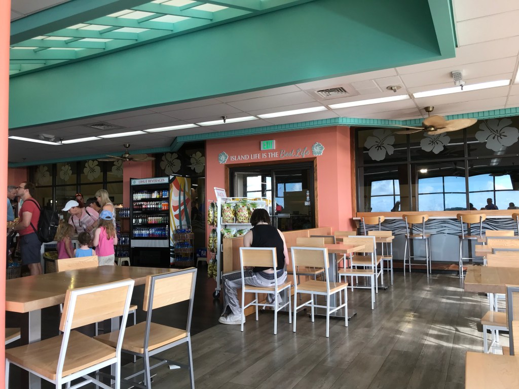
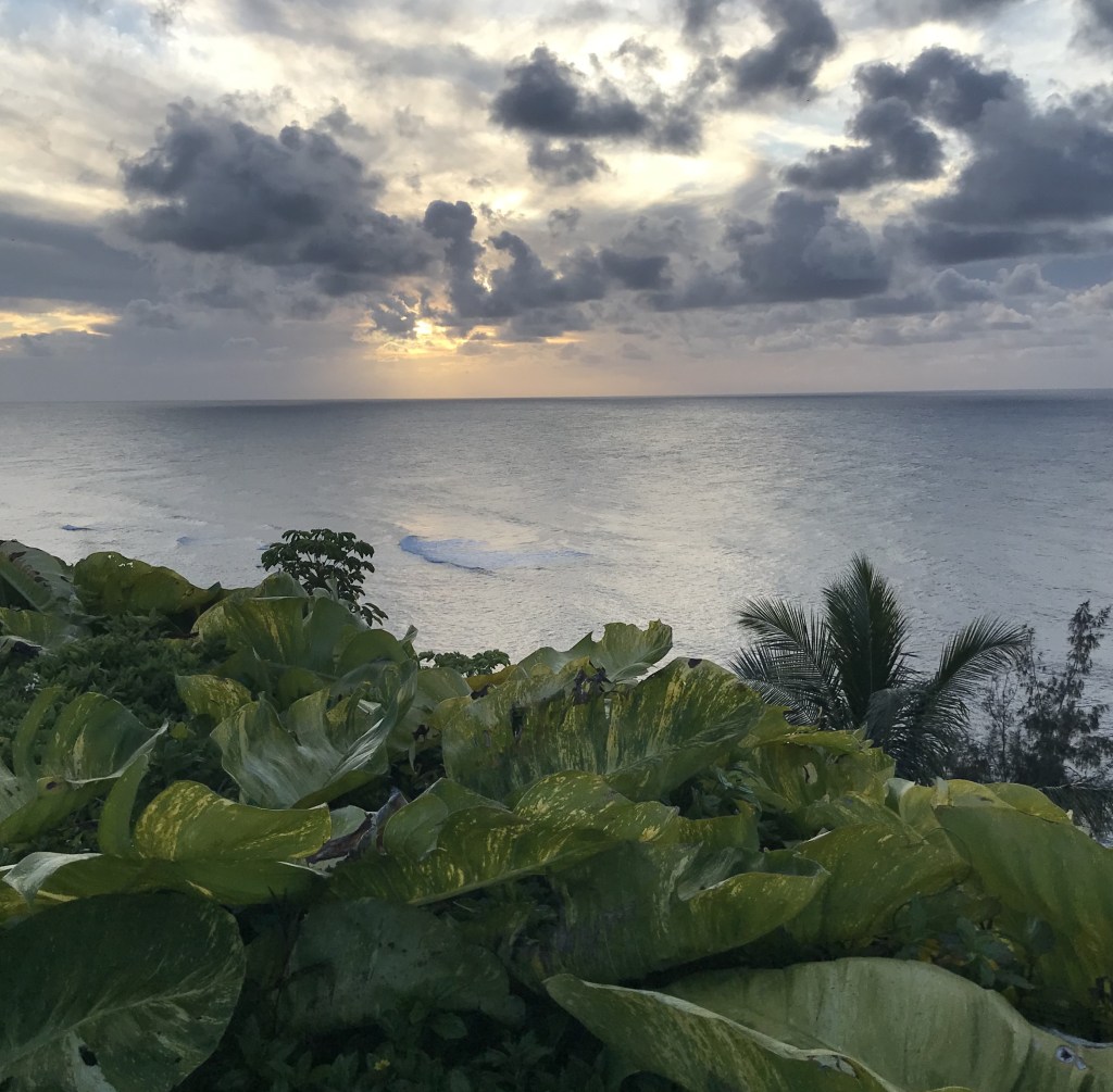
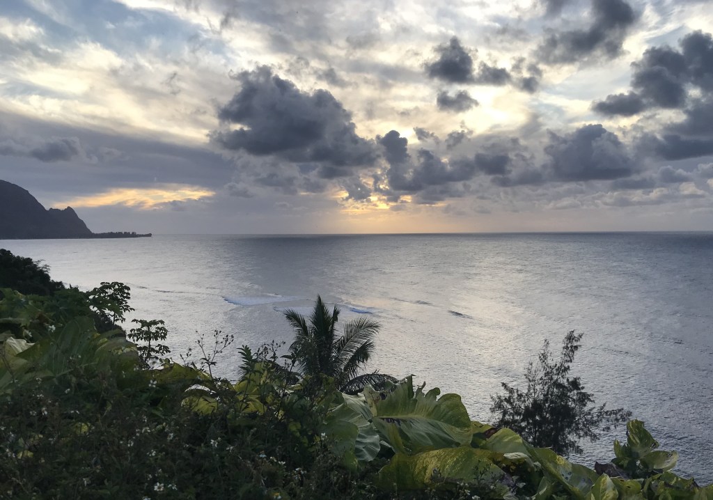
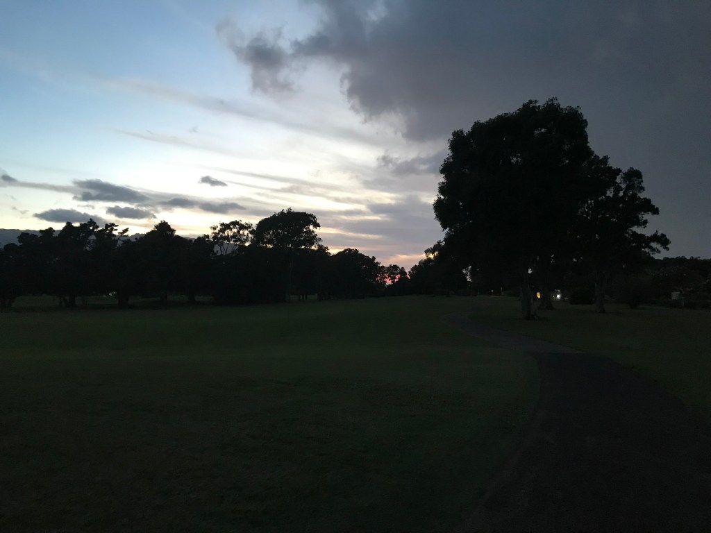
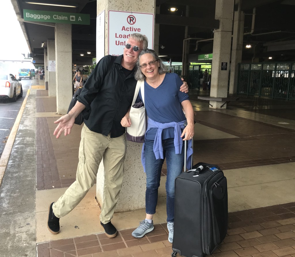
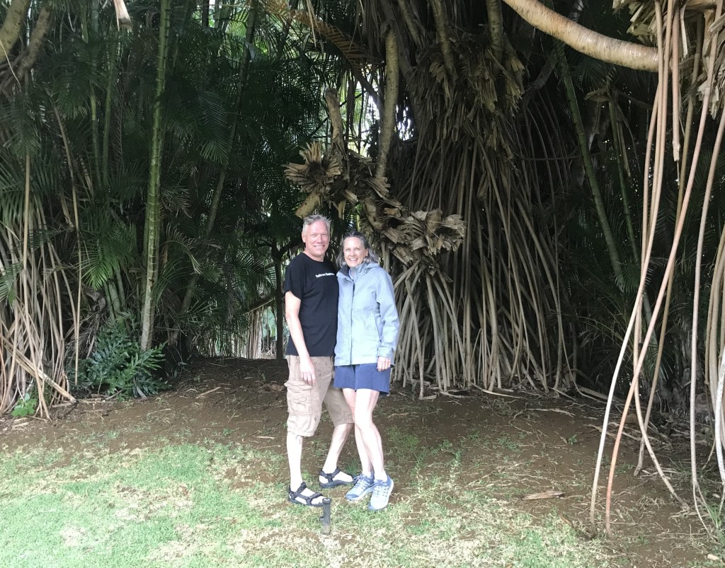
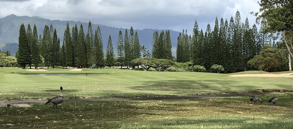
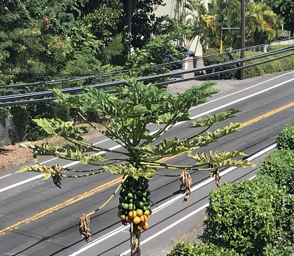
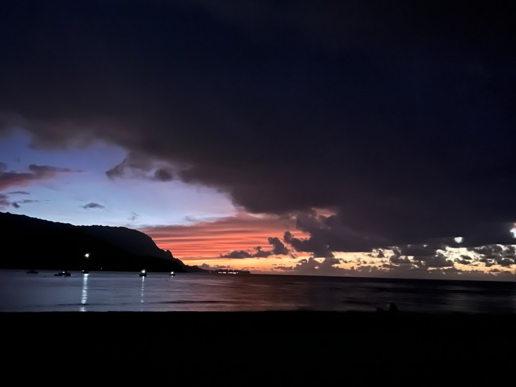
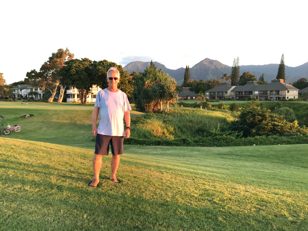
Thursday 8/01/24 – After the morning at Anini Beach I drove Laura and Eric to Lihue Airport for their flight back to Baltimore. My last night on Kauai and Hawaii Islands walked to the golf course overlook to watch the sunset.

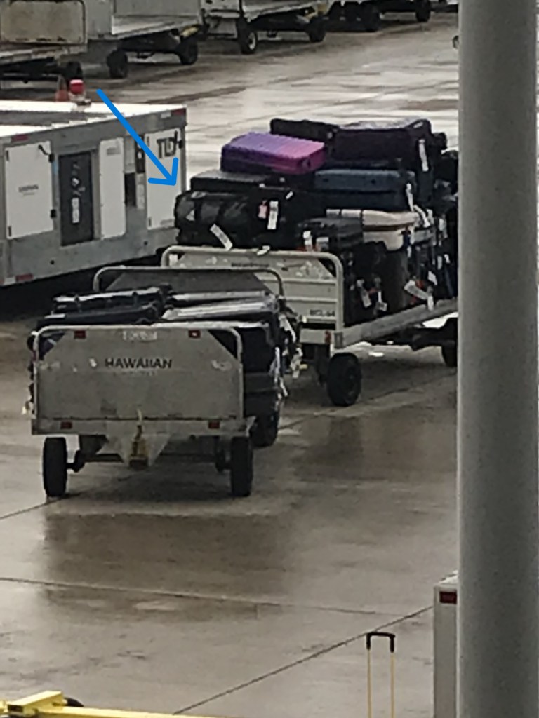
8/02/2024 Hawaiian Air flight from Kauai to Honolulu, my duffel bag is on the cart! Checked through to meet up with me in San Jose, CA.

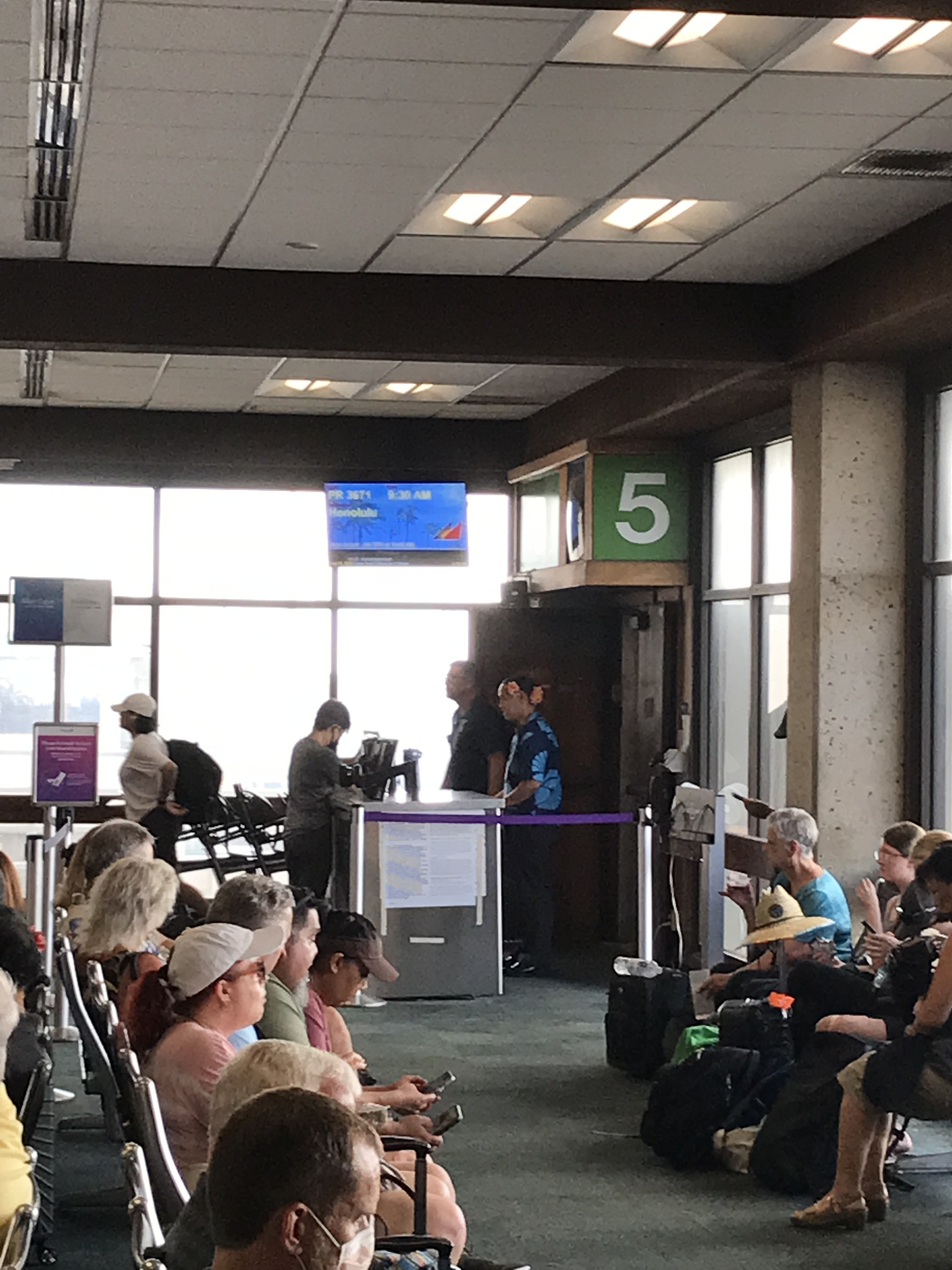
Gate 5, flight to Honolulu.spotting Diamond Head out the window as we are landing.

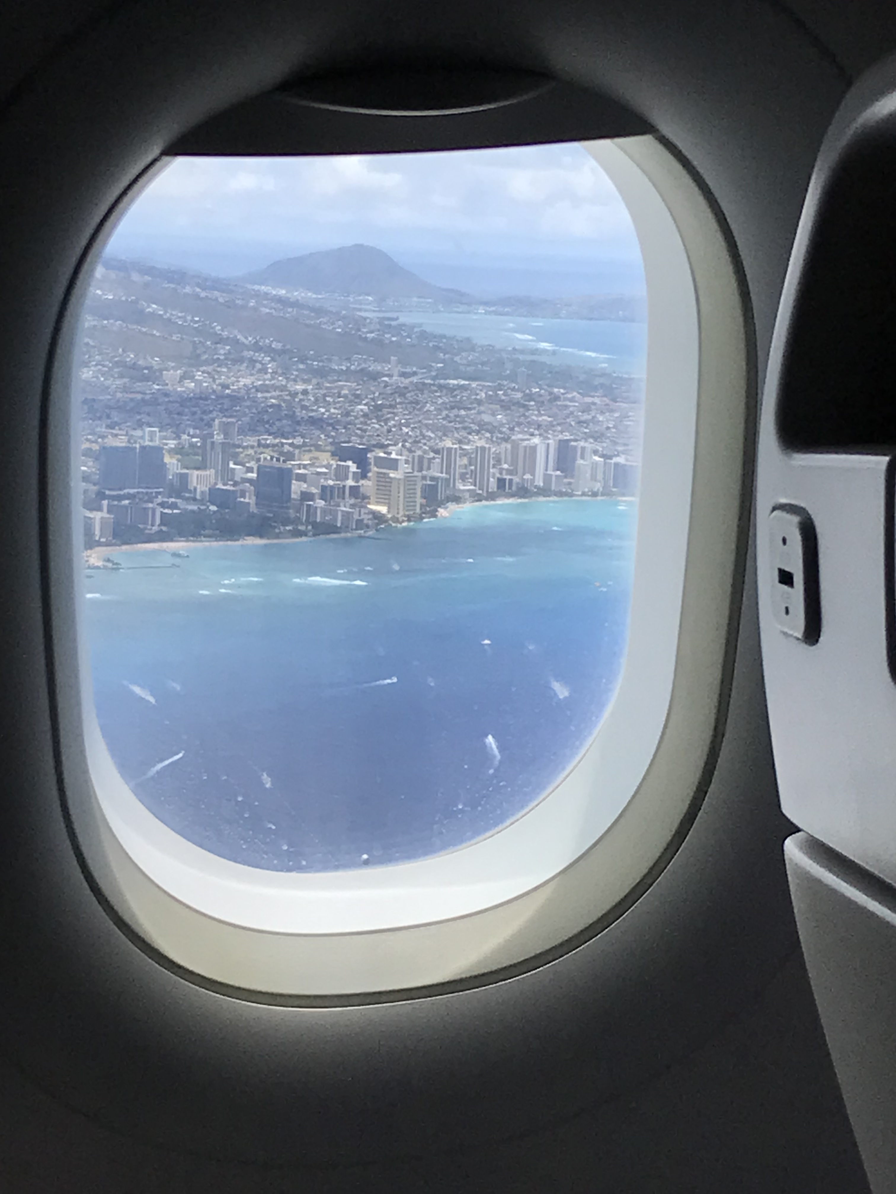
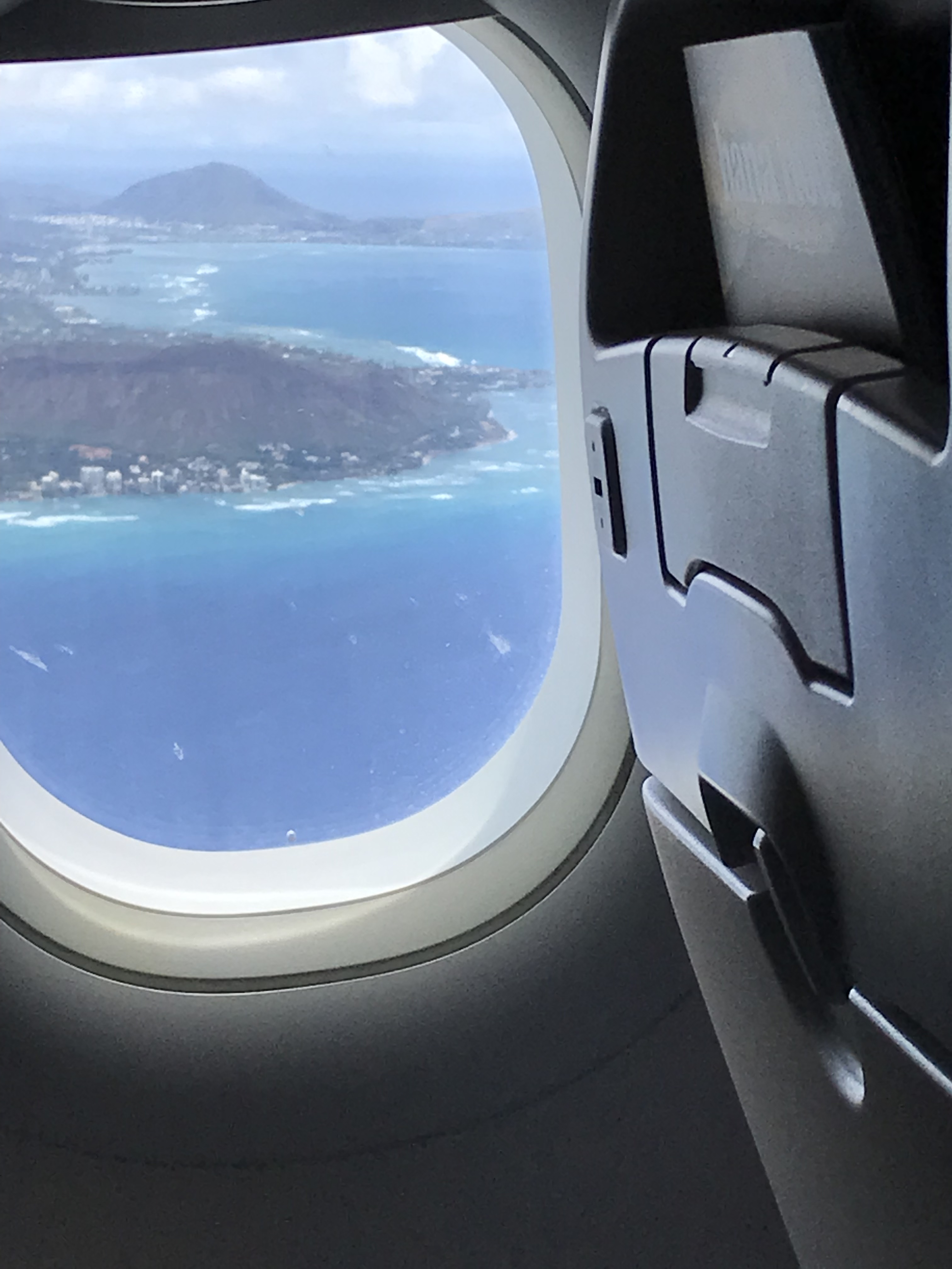
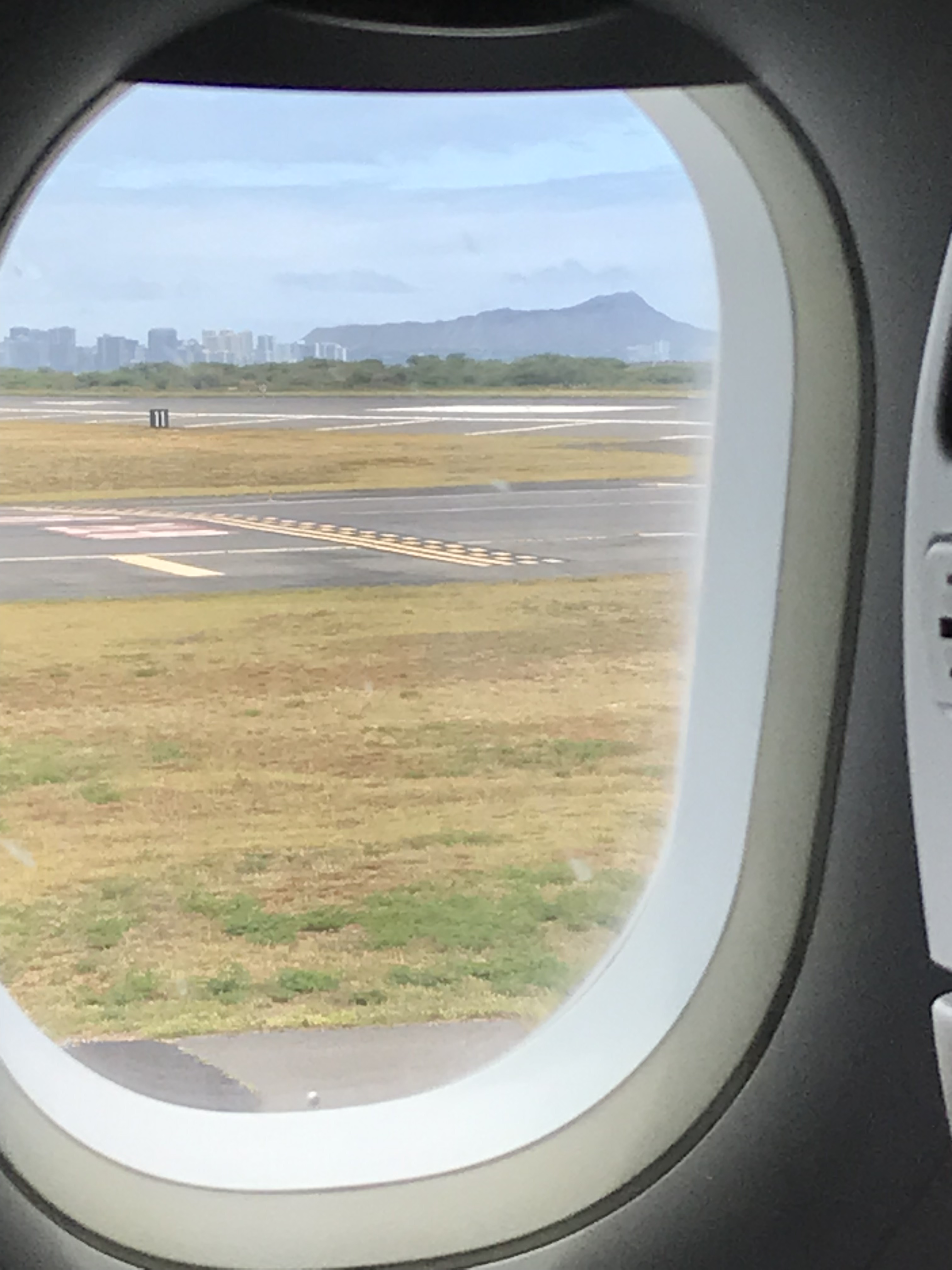
8/02/2024 Leaving Honolulu and Hawaii Islands for San Jose, CA. Honolulu then Diamond Head on takeoff, the mound in the background is Koko Head at Hanauma Bay..
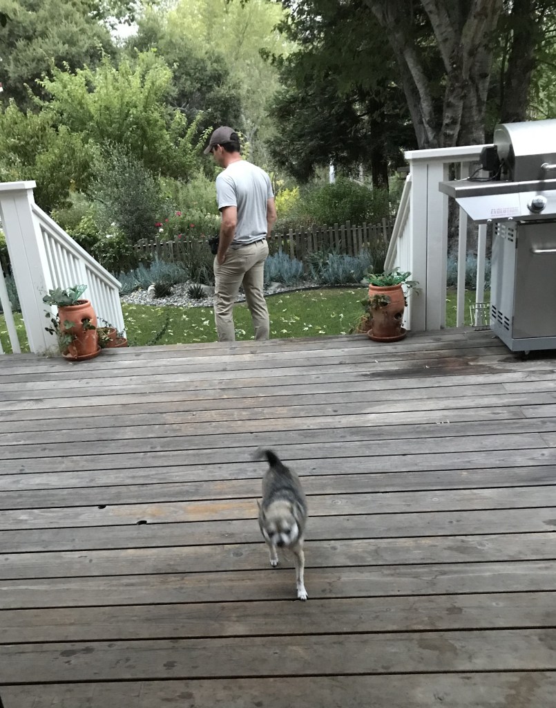
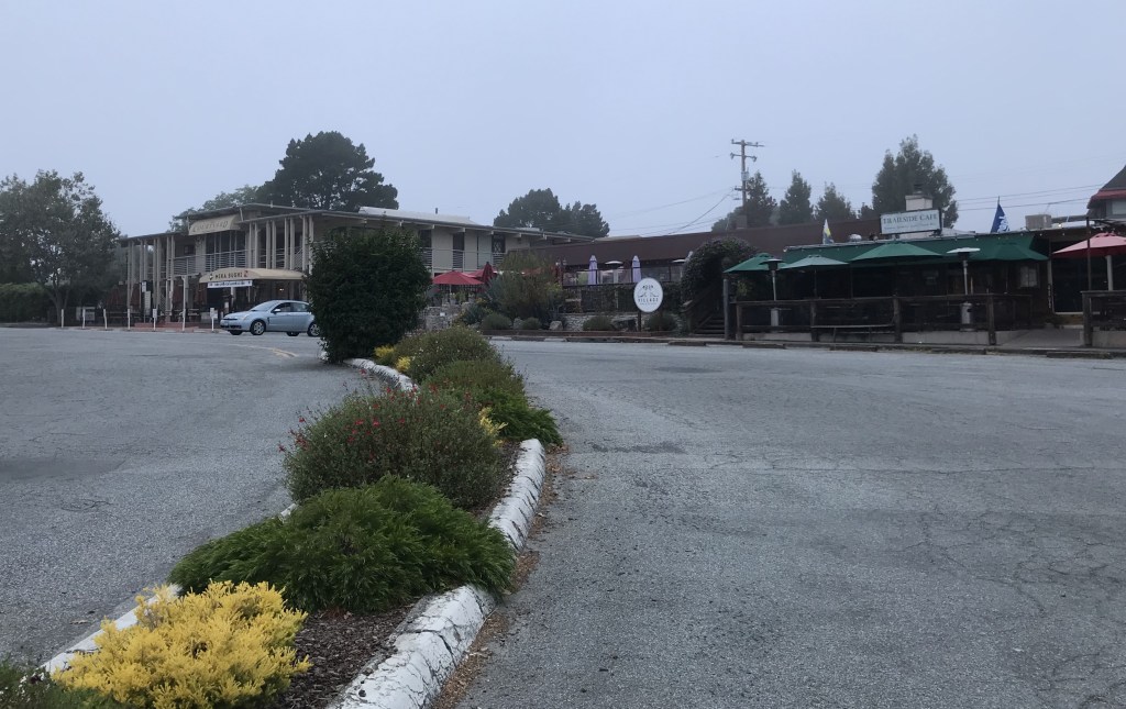
BONUS CARMEL VALLEY, CA

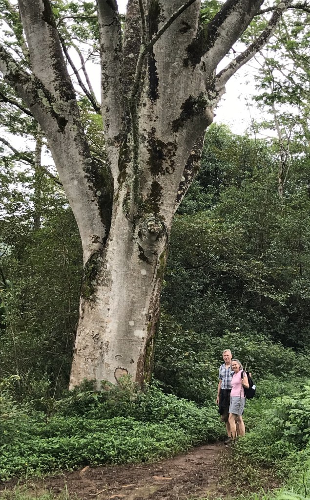
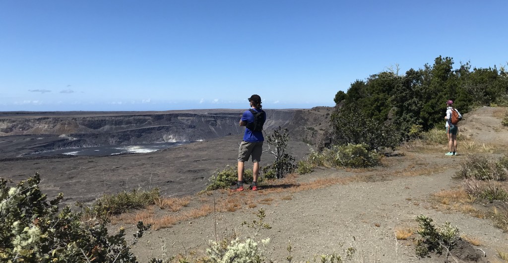
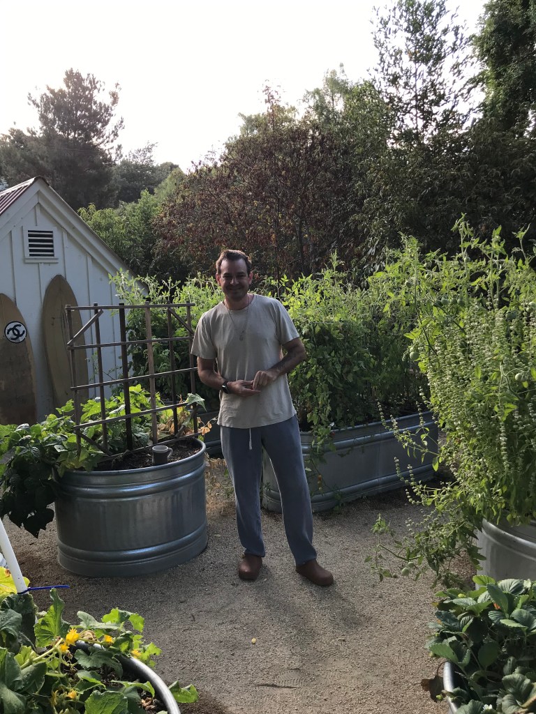
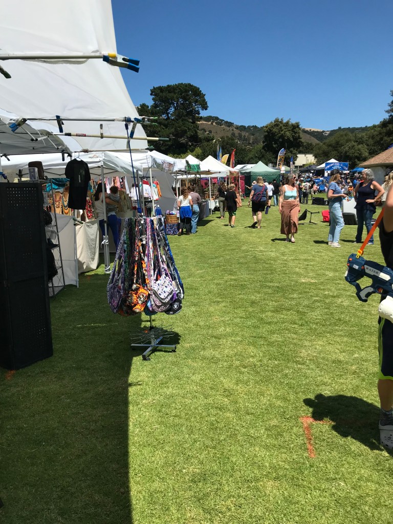
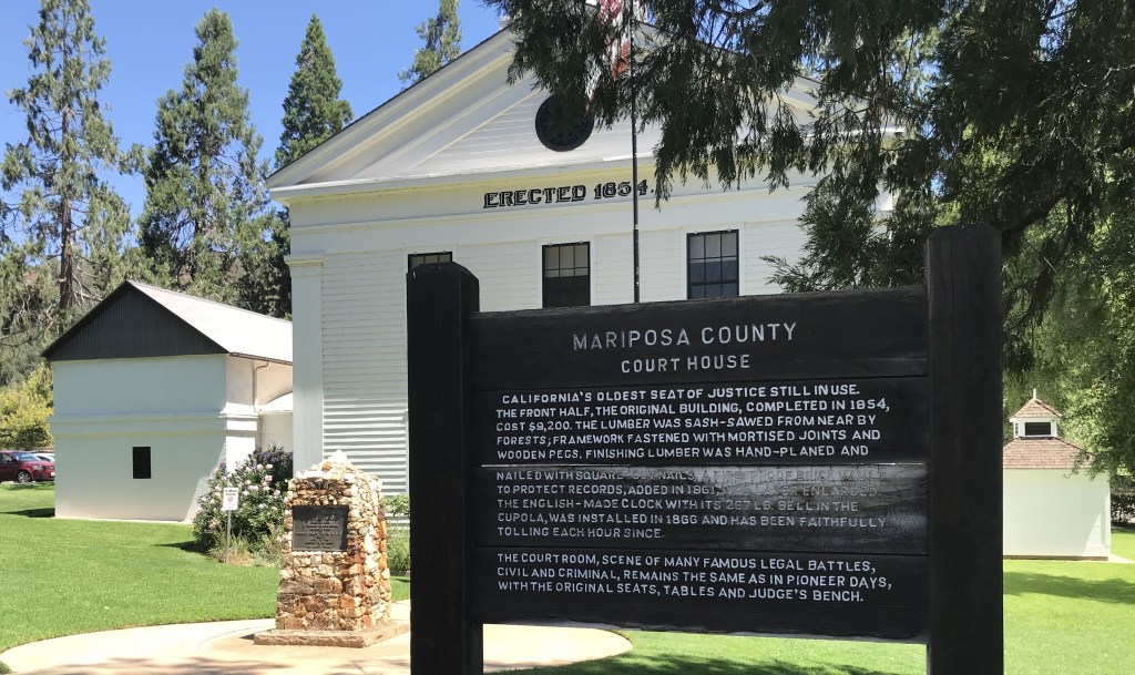
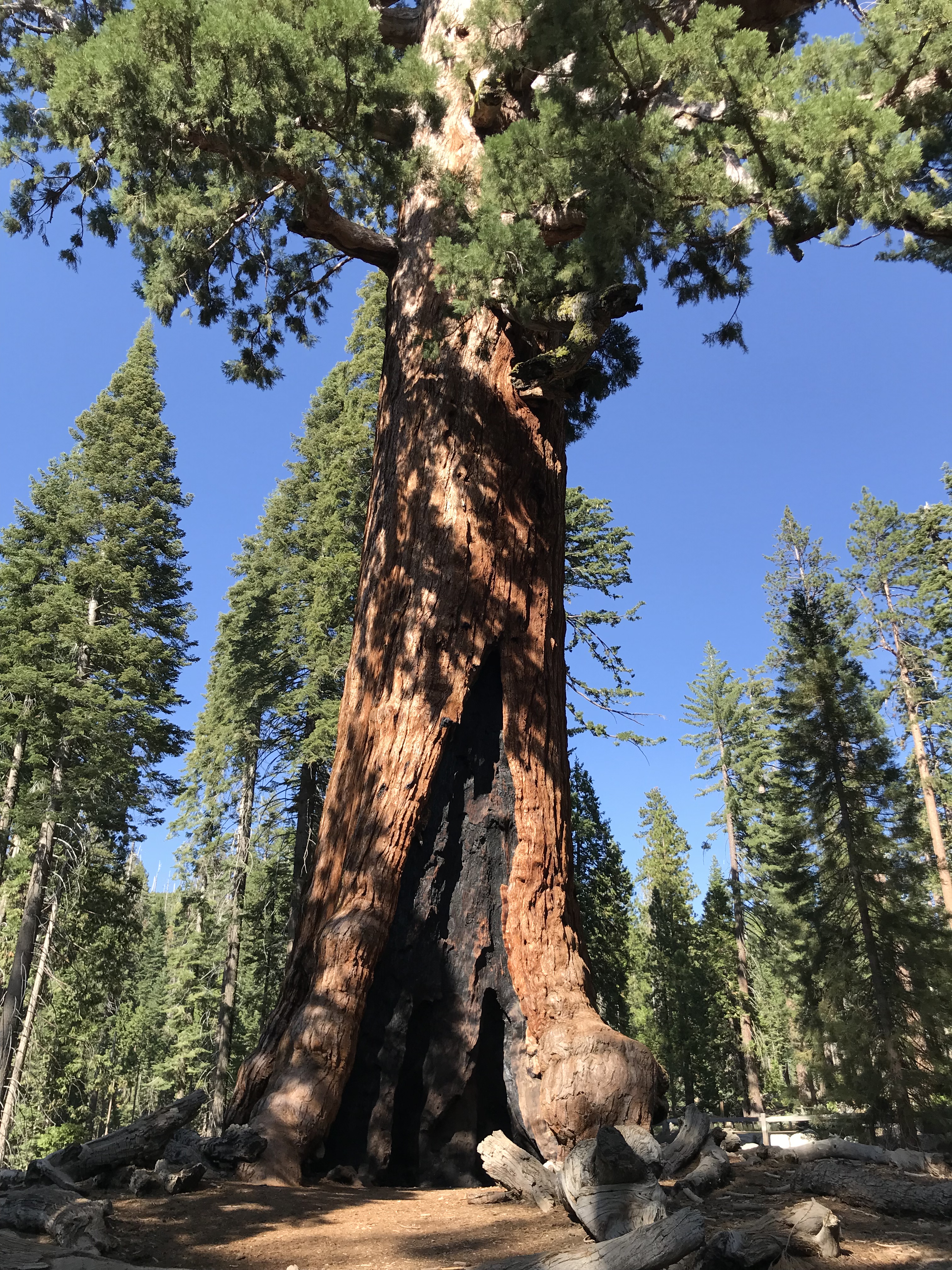
August 2-8, 2024 Visit with nephew and his wife. Dave and Anne live in Carmel Valley, their gift shop is in the town of Carmel-by-the-Sea. I arrived late Friday. Saturday they took me on a little day trip to the nursery, Moss Landing Beach and their shop in town. Sunday we had lunch with Kathleen, Anne’s mom, and then to the Fiesta happening just a few blocks away. At lunch it was decided by everyone that I must see Yosemite National Park and the Giant Sequoias. Dave and I took off early Monday morning for the 3 1/2 hour drive to Anne’s hometown, Mariposa. Checking in to our motel to then, later in the afternoon, drive to the Park. If you don’t have a reservation for summer entry to the Park access is restricted to after 4 p.m. or before 5 a.m. We arrived at the Park just after 4 Monday afternoon and spent 5 hours touring ending at Glacier Point for the end of day shadows. Leaving at dusk to drive the hour back to Mariposa and hopefully catch 4 1/2 hours of sleep before getting up 3:30 a.m. Tuesday morning to beat the 5 a.m. cut off, which we made with 10 minutes to spare.

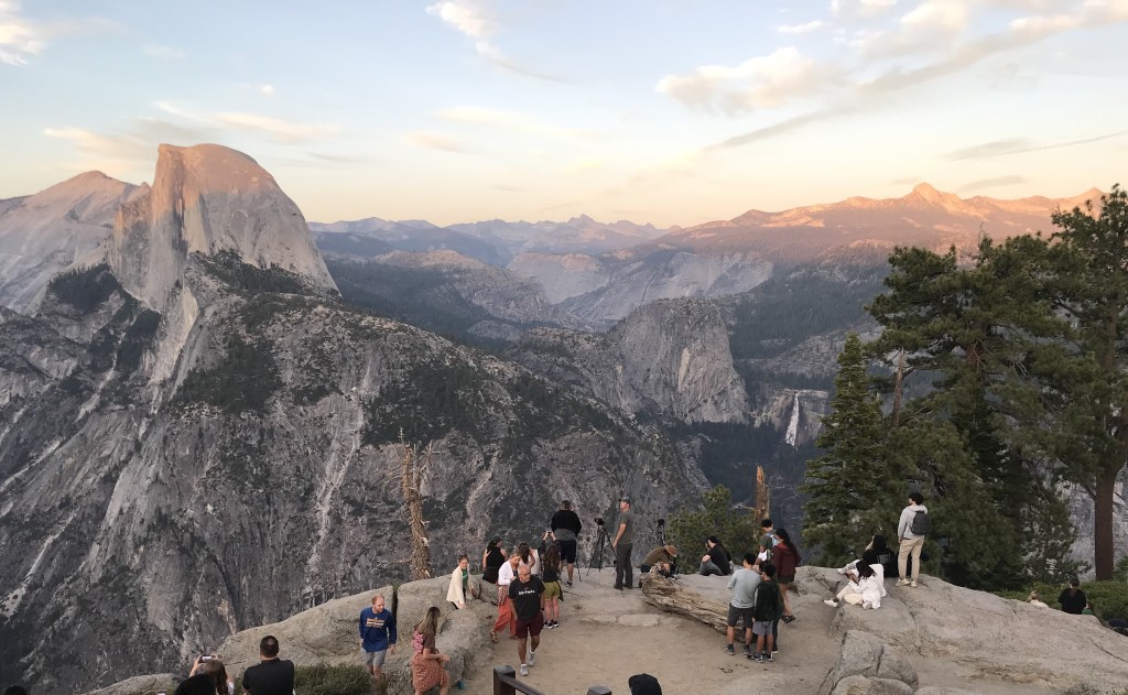
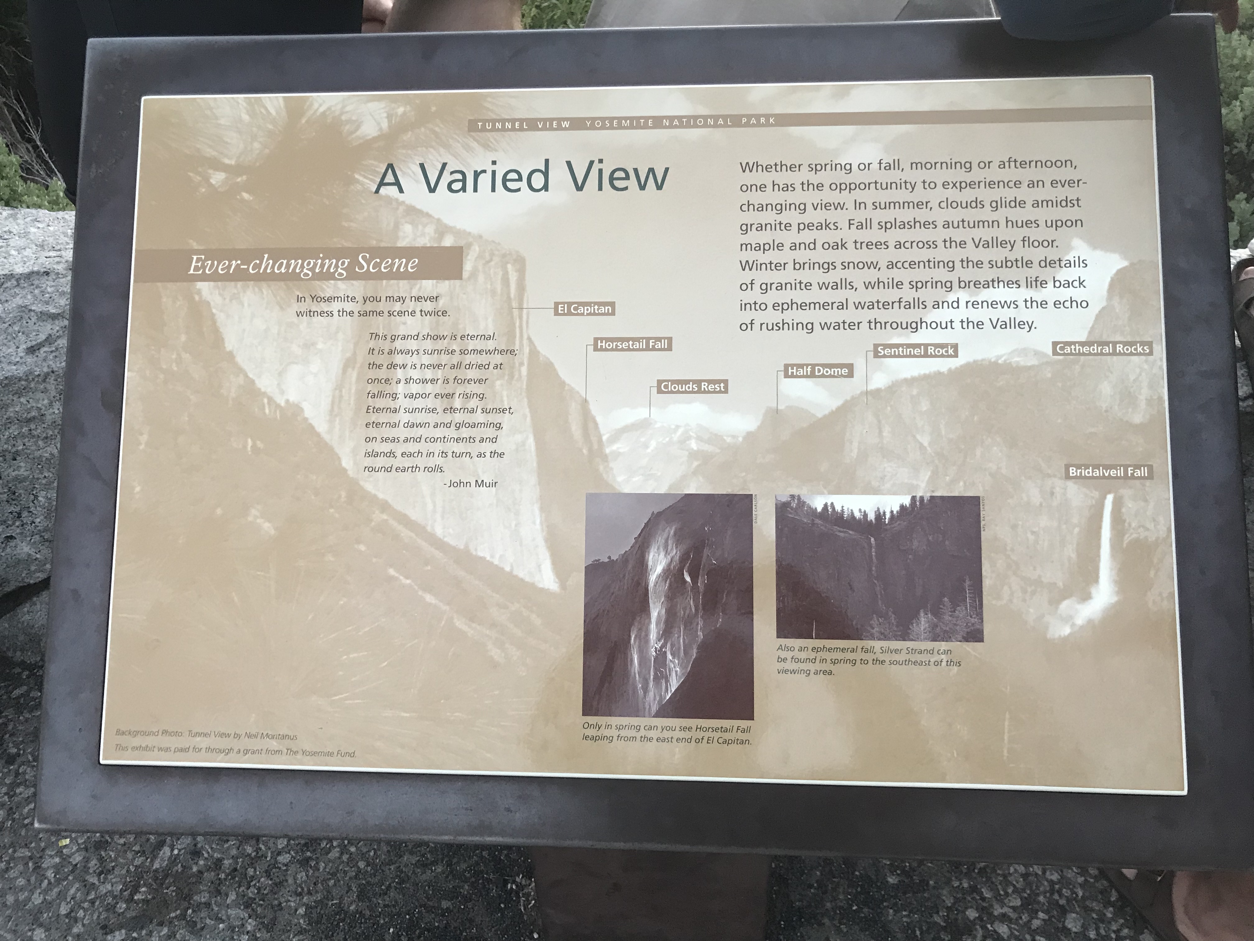
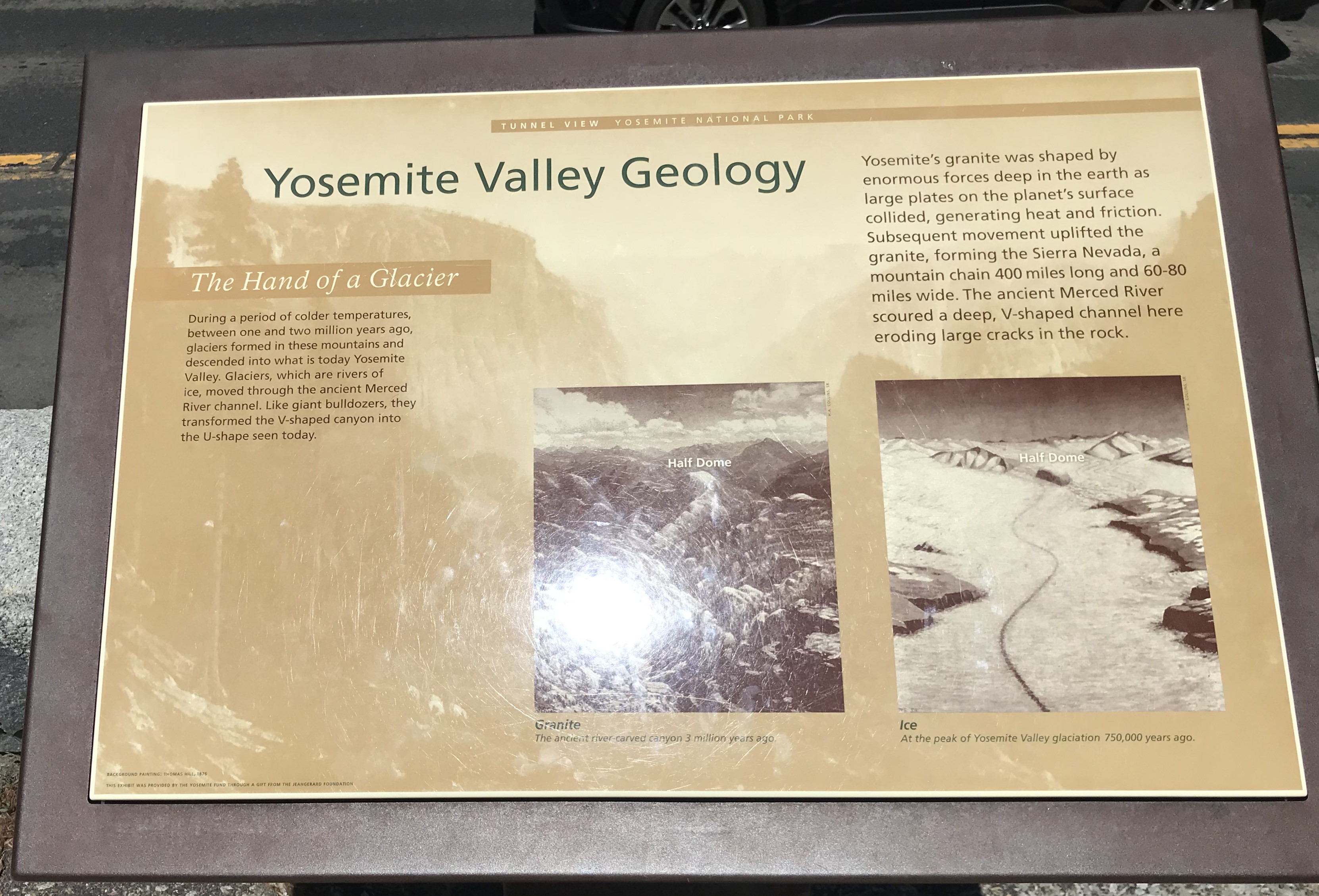
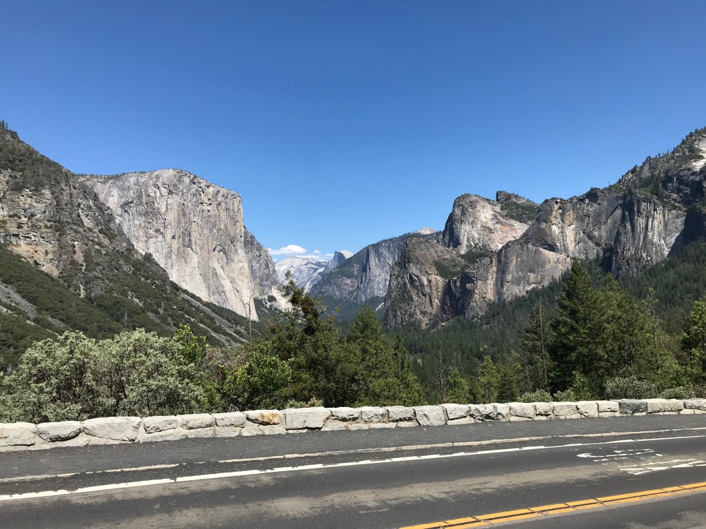
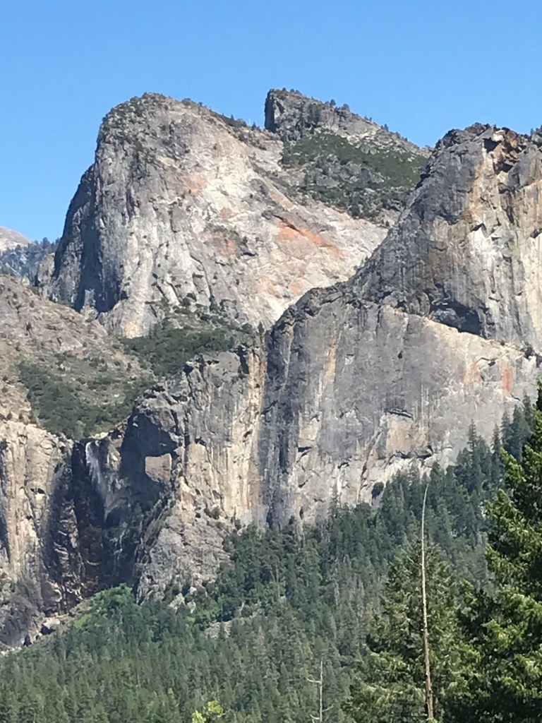
Monday afternoon we saw/visited all the sights along the Valley floor: El Capitan, Cathedral Spires, Bridalveil Fall, Half Dome and The Ahwanee Hotel, adding in a few loops around Valley Drive, ending the day at Glacier Point.

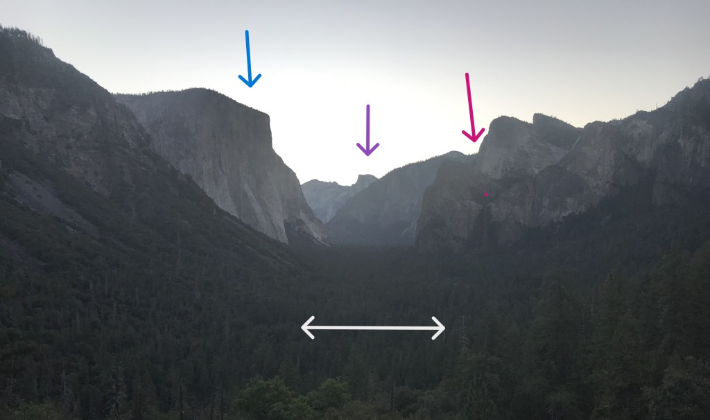
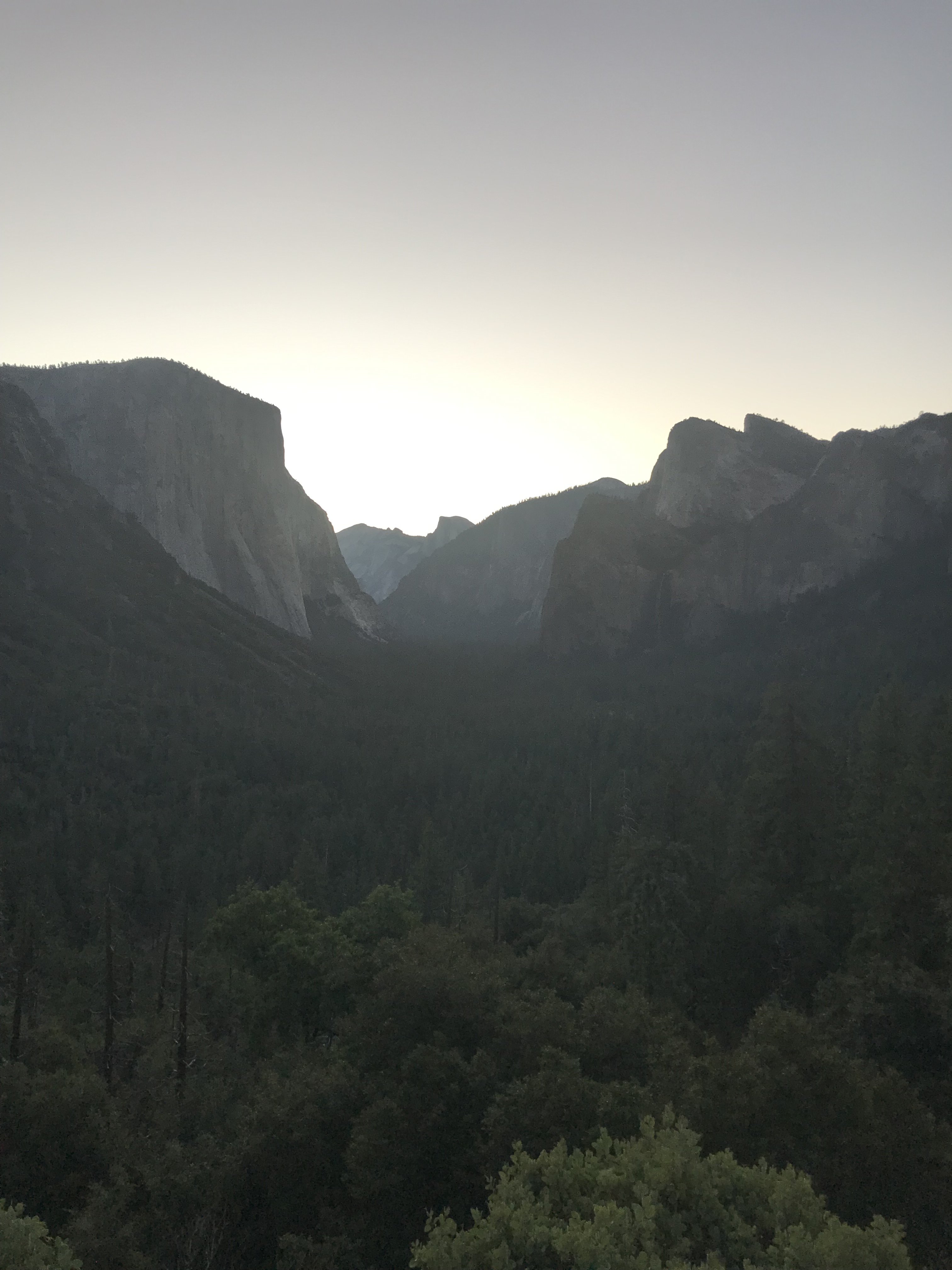
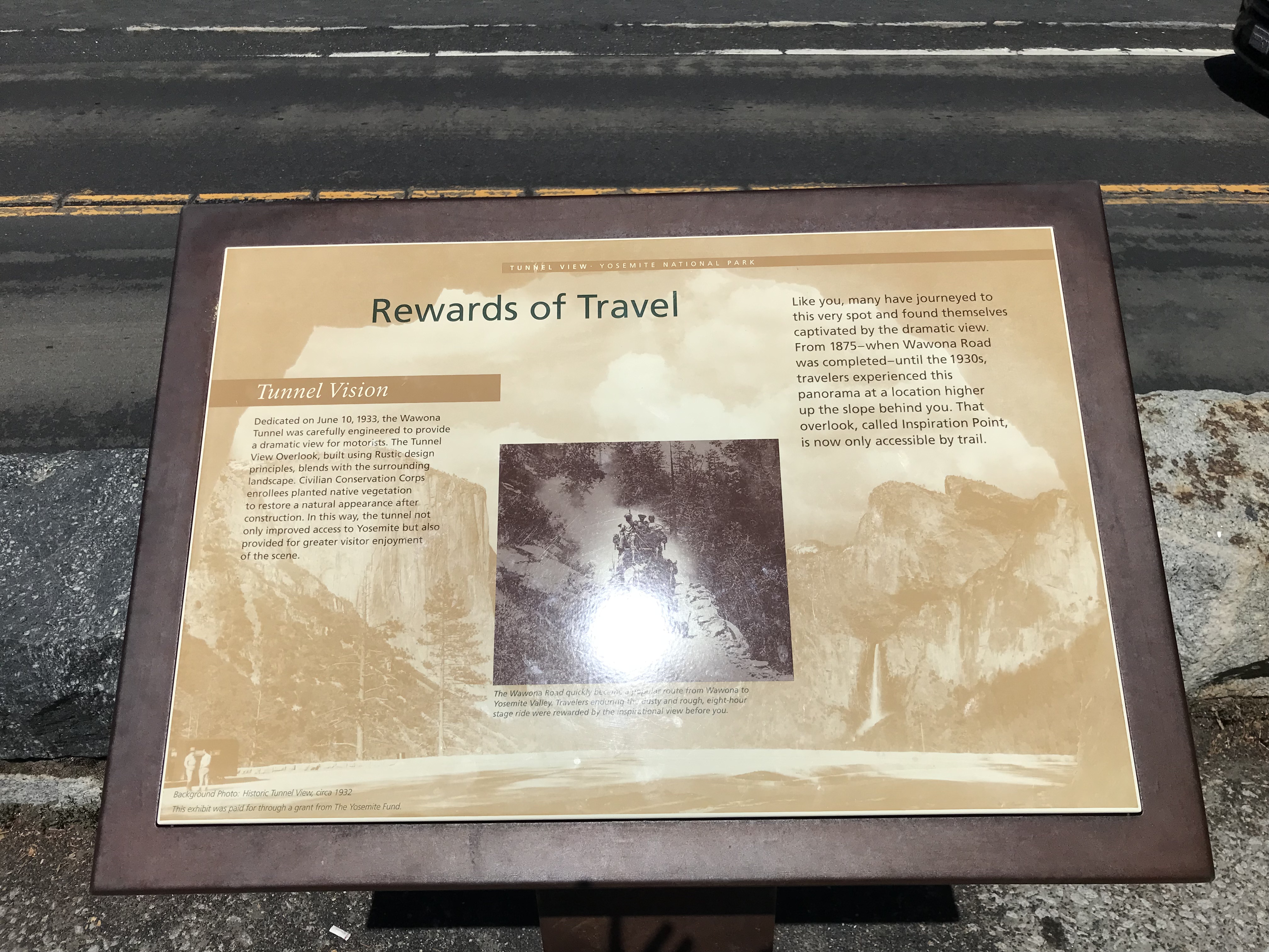
Tuesday morning arriving at 4:50 a.m. after the 50 minute drive from Mariposa we drove to the parking lot at Tunnel View and waited on the dawn. First light was around 5:40 and sunrise 30 minutes later. The early morning light standing there at Tunnel View overlook reveled to my still sleepy eyes all the grand monuments we saw the evening before, except that during the Monday Valley stops I saw each great “rock” separately where on sunrise at Tunnel View they all where together in one frame. Spectacular! We left the beauty of that for breakfast at Yosemite Lodge. Cafeteria style, good food, sausage, eggs and hash browns, filling. Dave’s plan was to take me on a drive along Tioga Road catching the sights on the drive through the middle of the Park.

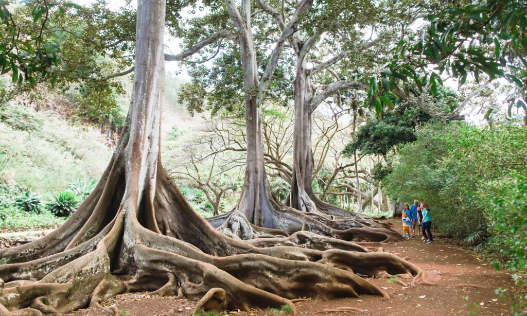
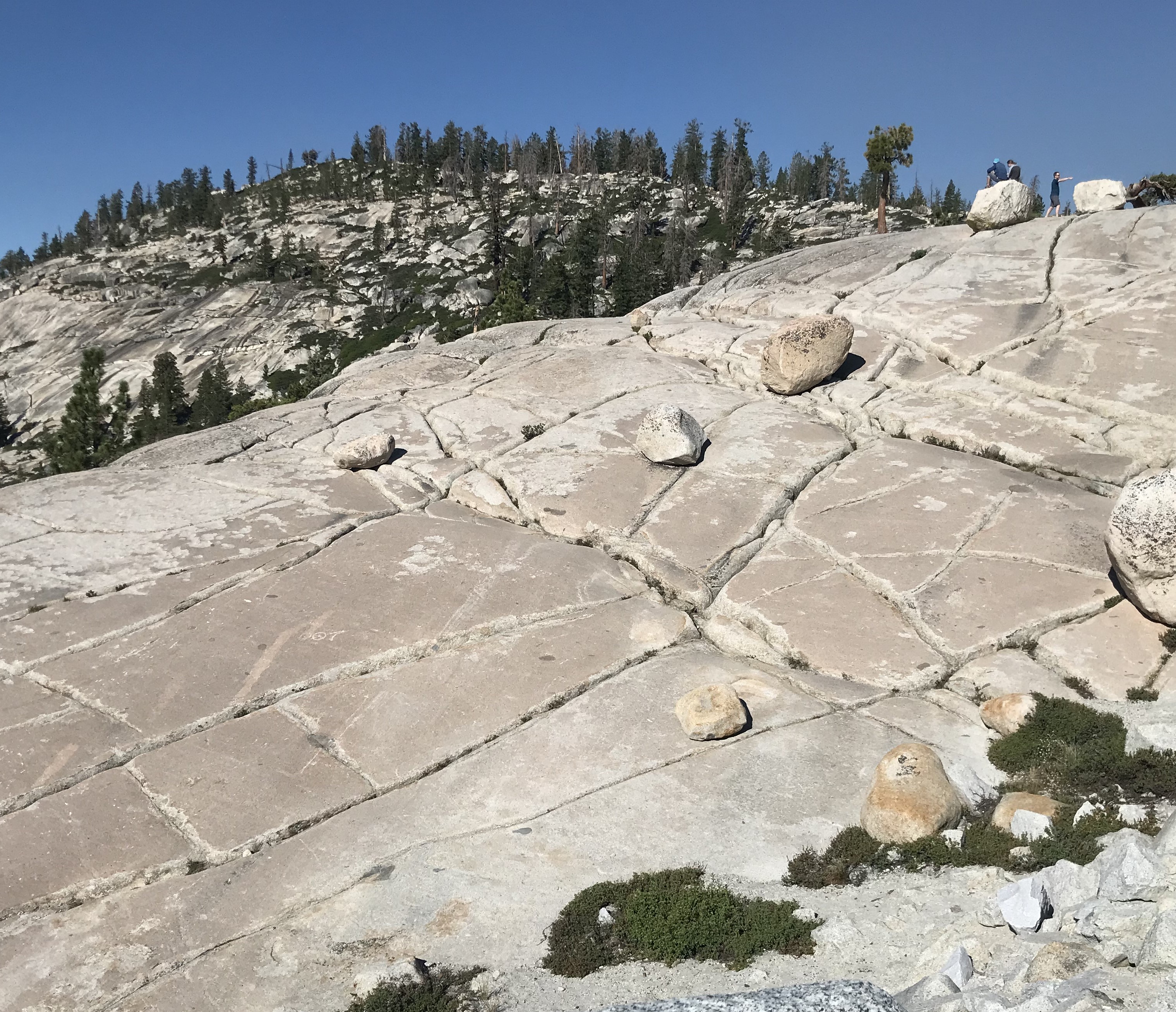
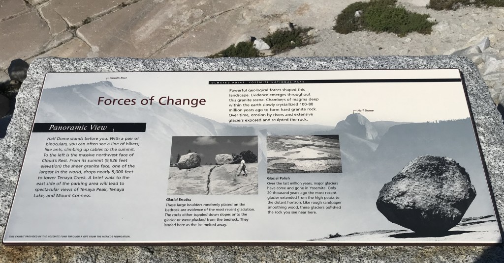
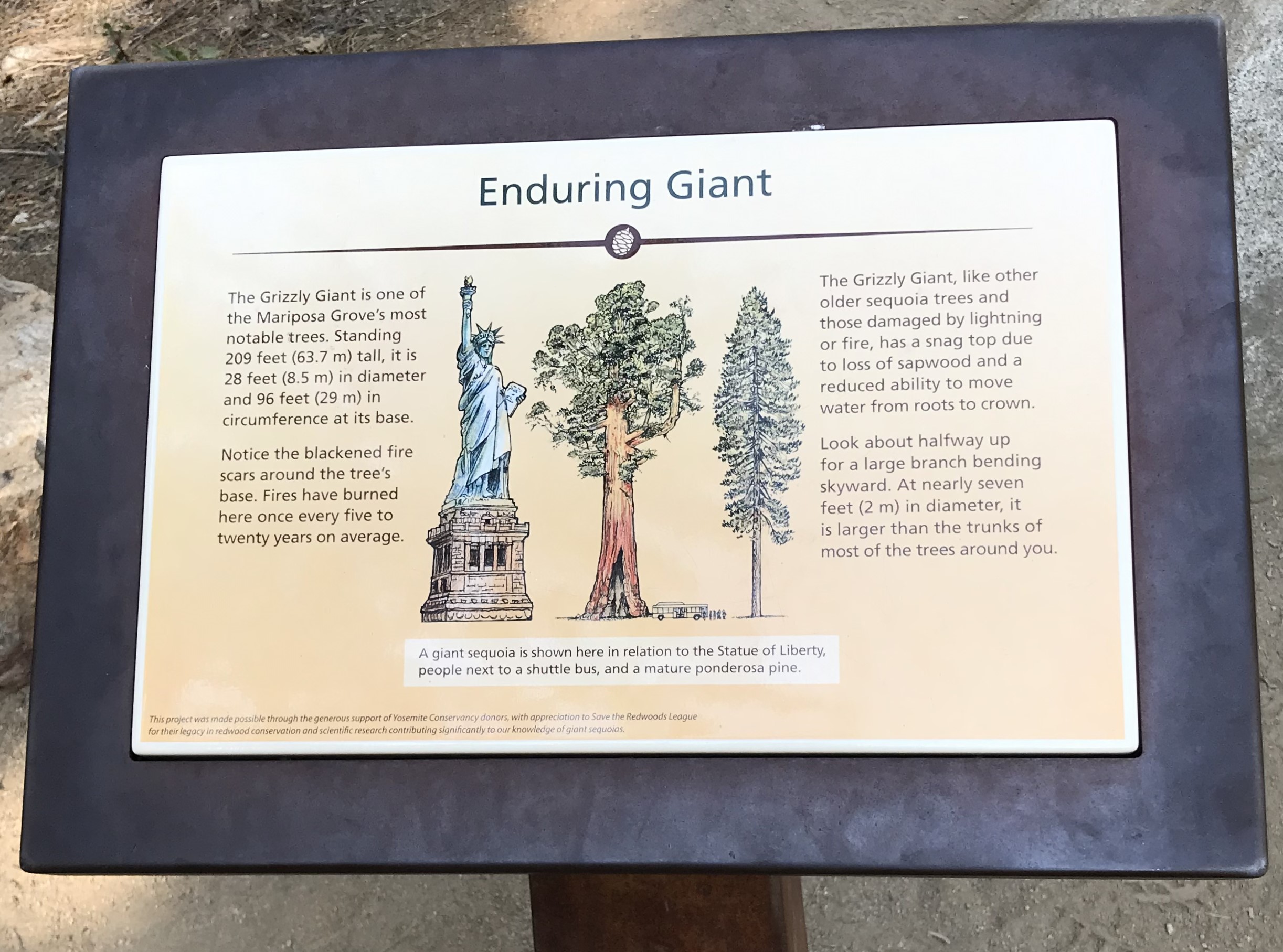
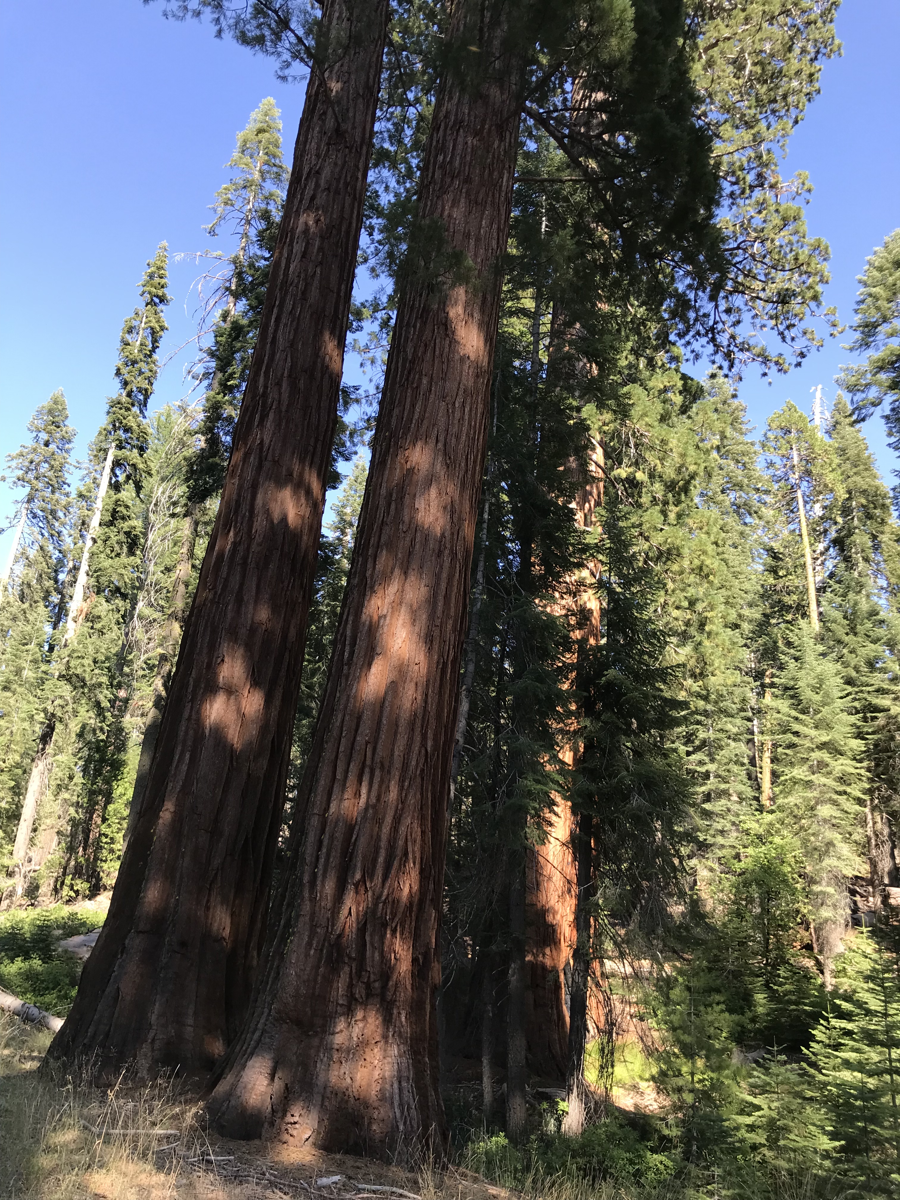
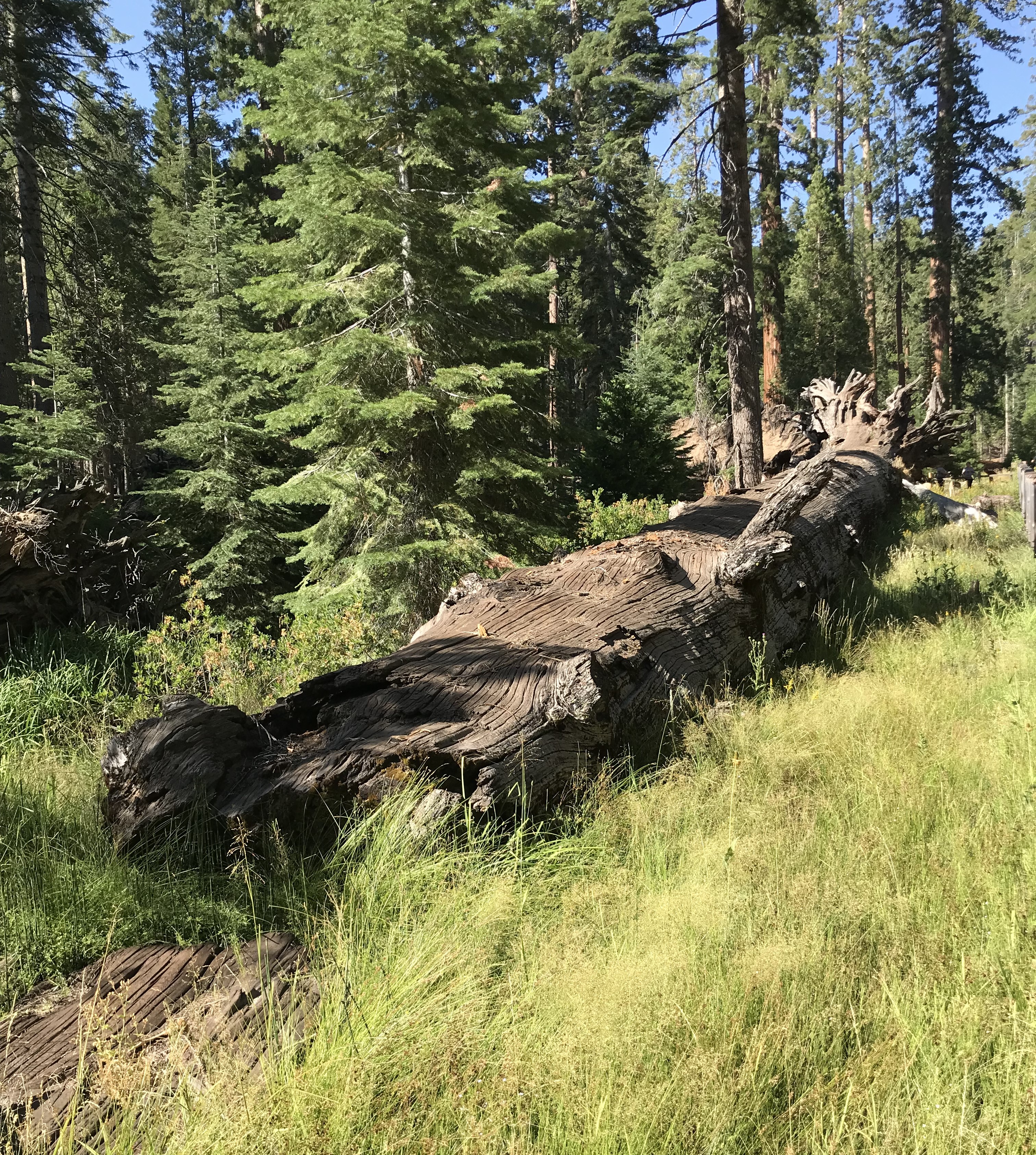
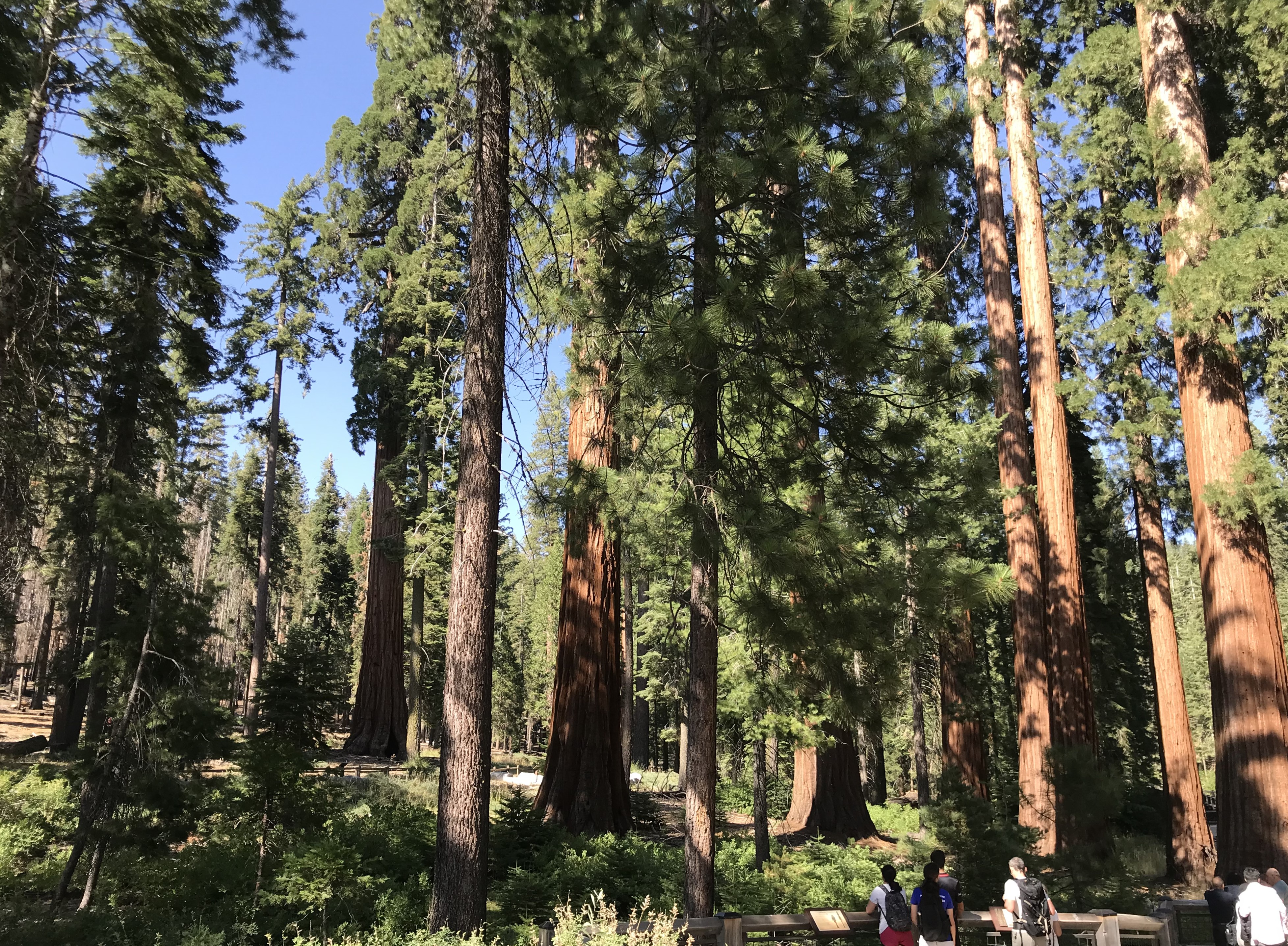
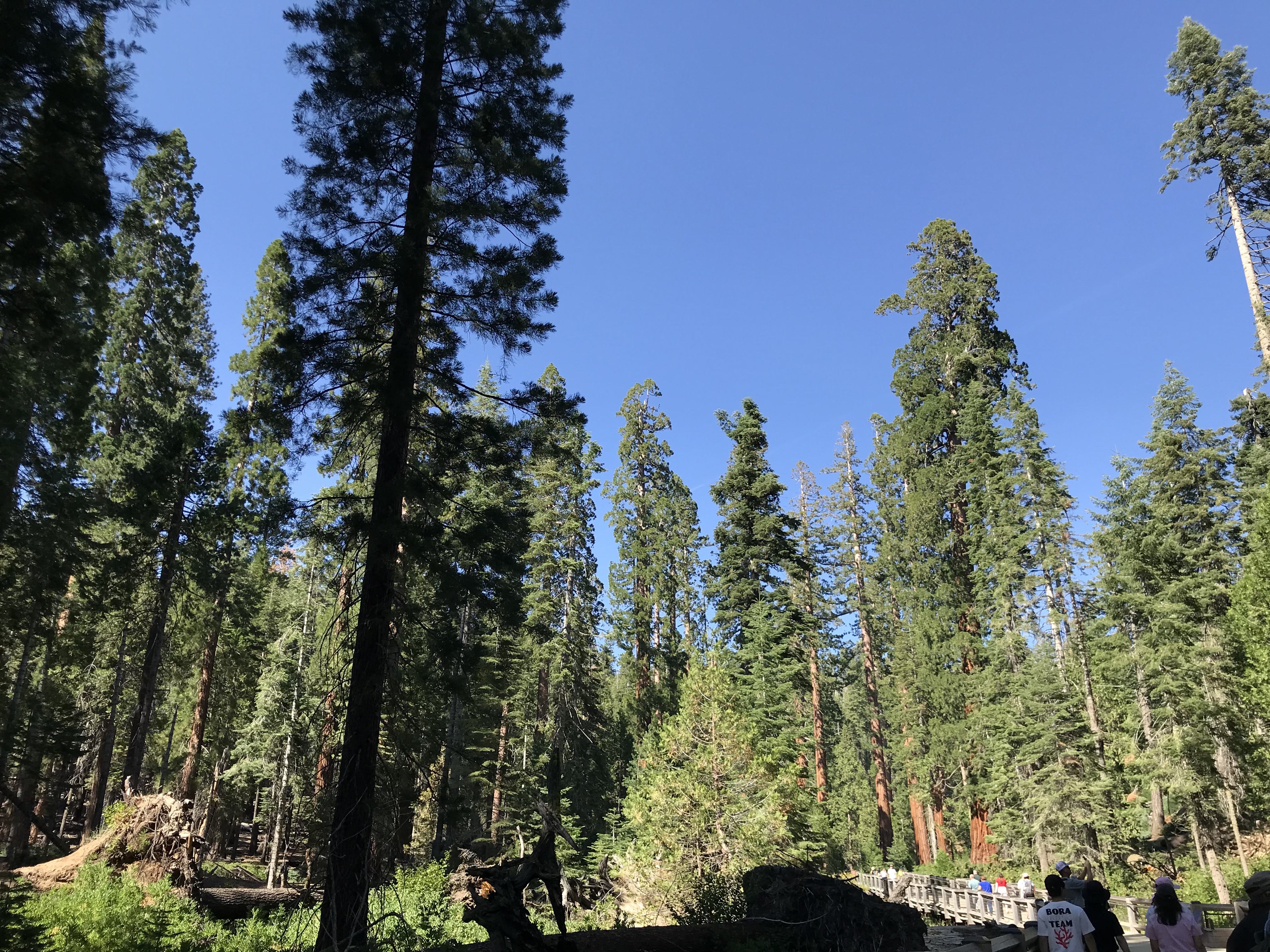
Roads here at the Park wind left, right, up and down sometimes on flat ridges or on low valleys, many times on roads that have been cut into the mountain side with the outside lane feet from a cliffs edge. For me as the passenger I got to take in the sights, sadly a lot of fires over the last years have done damage to the Parks forests. We could be riding along in evergreens then emerge to a display of toothpick like sights (Fire in the north end of the park the day before was set off by lightning strikes). We traveled out to the East end stopping at Tuolumne Meadows then drove back to Tenaya Lake for a well deserved break, especially for Dave having been behind the wheel since early a.m. After resting at the Lake it was decided we would leave the Park through Wawona Road and the South Entrance. Stopping at Mariposa Grove/Wawona we joined the other tourists to check out the Giant Sequoias. From the Grove it is an hours drive to Mariposa town where we pass through Fish Camp and Oakhurst, a lot easier drive for Dave than to reverse the winding road back through the Park, a 2 hour trip instead of the one we took.

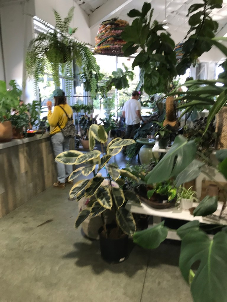
The Power Plant Garden and Marketplace, Moss Landing, CA. 8/03/2024

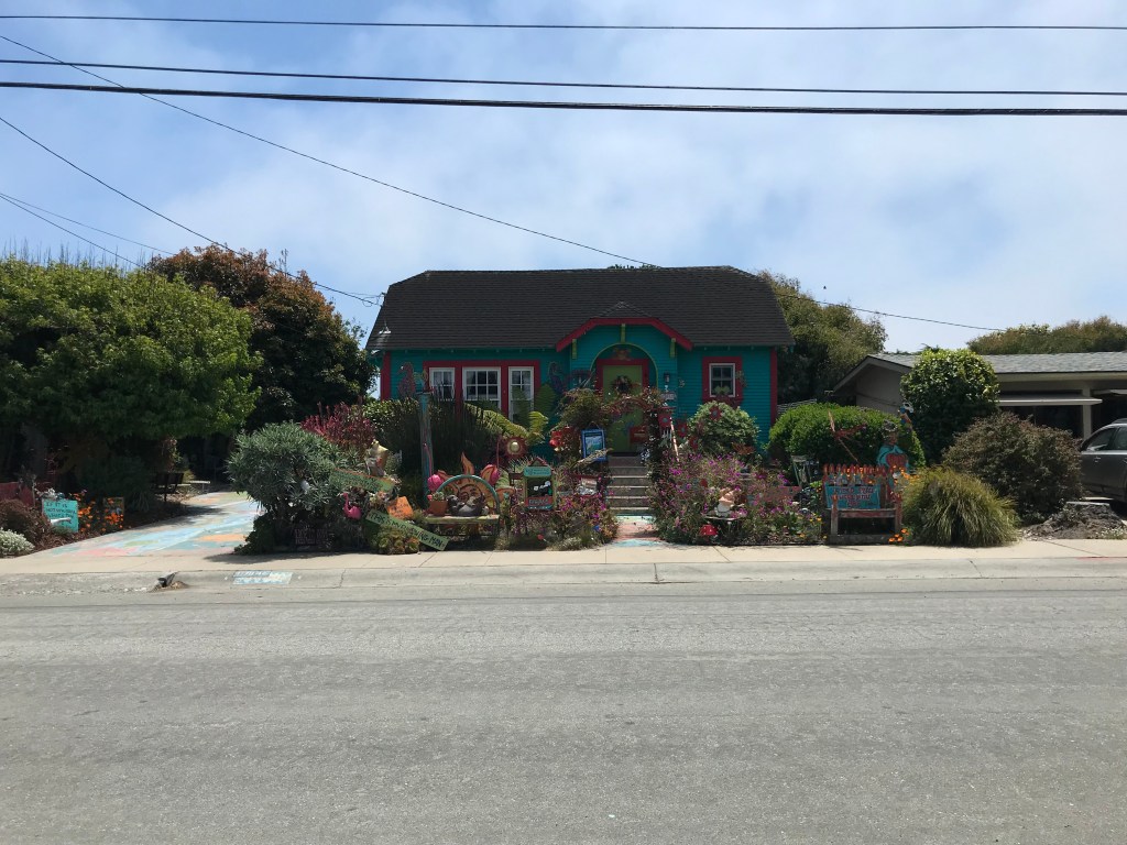
Cool yard, Pieri Ct. Moss Landing, CA

Anne and Dave’s shop, “Somewhere in Carmel”, San Carlos Street –

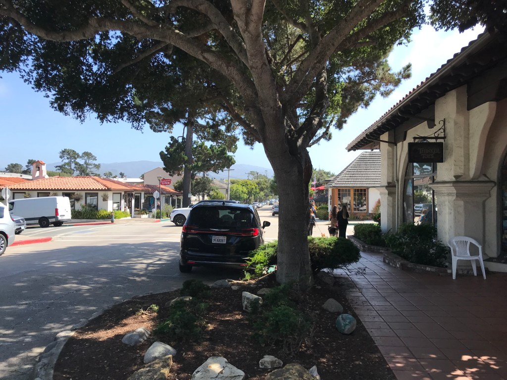
San Carlos Street, Carmel-by-the-Sea, CA

Late afternoon 8/03/24:

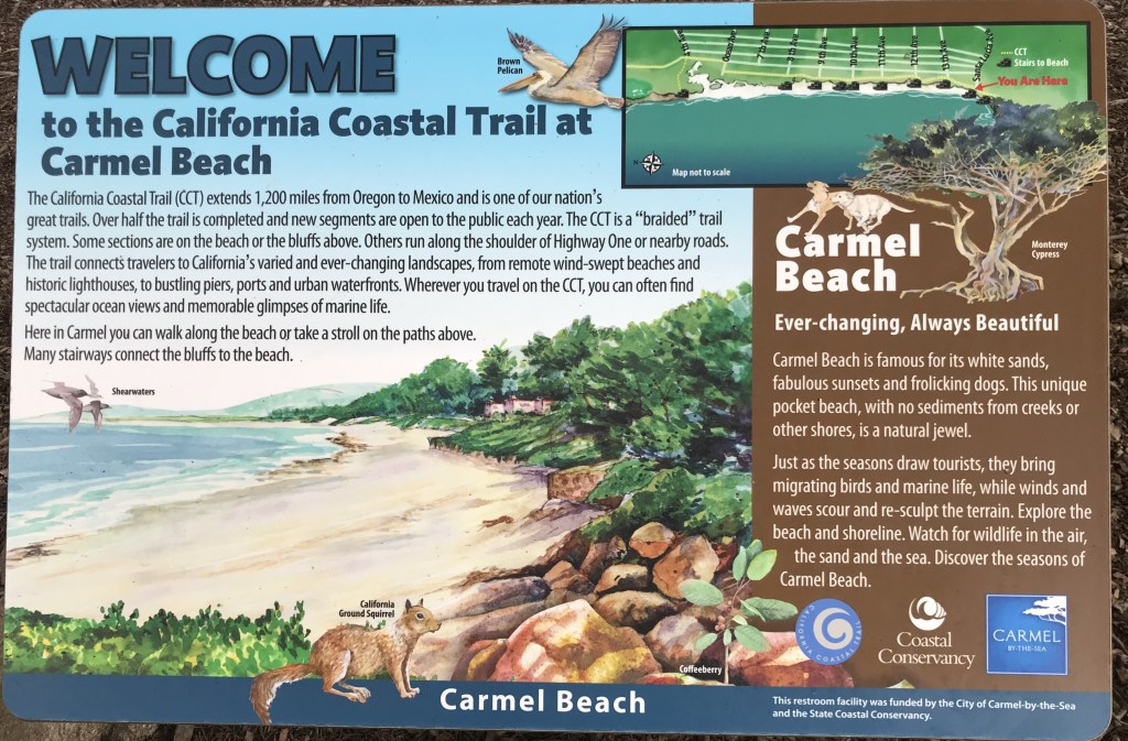
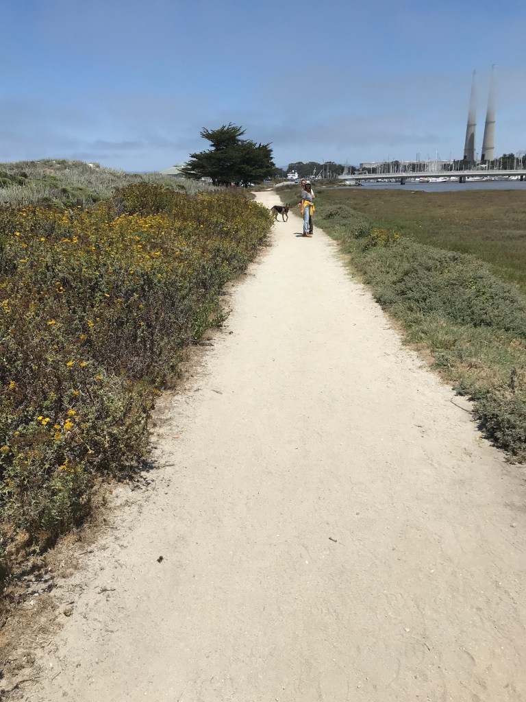
Carmel Beach, Carmel Bay. 8/03/24

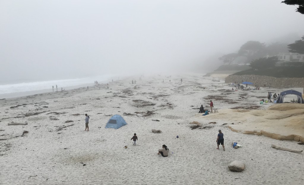
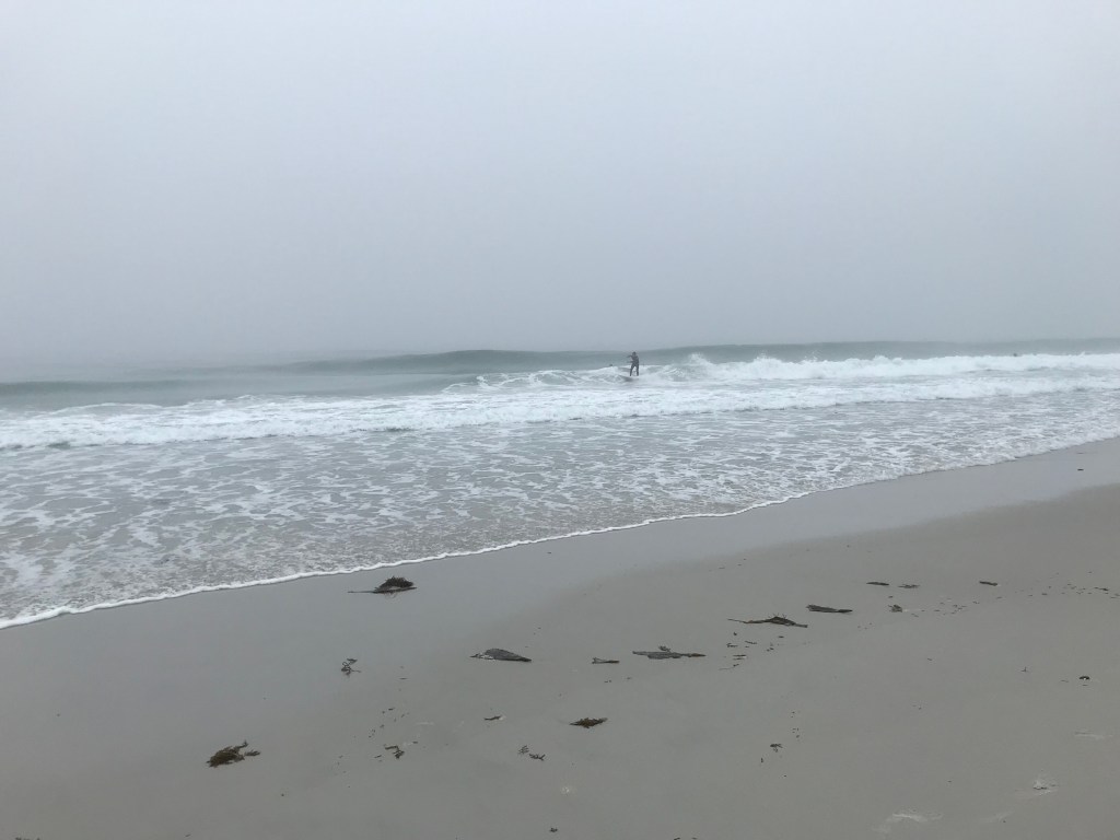
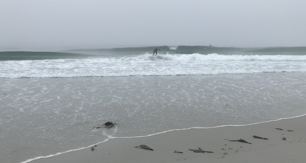
What struck me was the mist lying over the ocean and beach stretching into the town for some distance. Anne tells me this was her usual day while in HS having moved to Carmel from Mariposa. The ocean temps are colder than HI’s ocean.

HI surfers to compare:

On the road, it’s all good, Barney’s keeping eyes on the car’s on screen map for Dave.

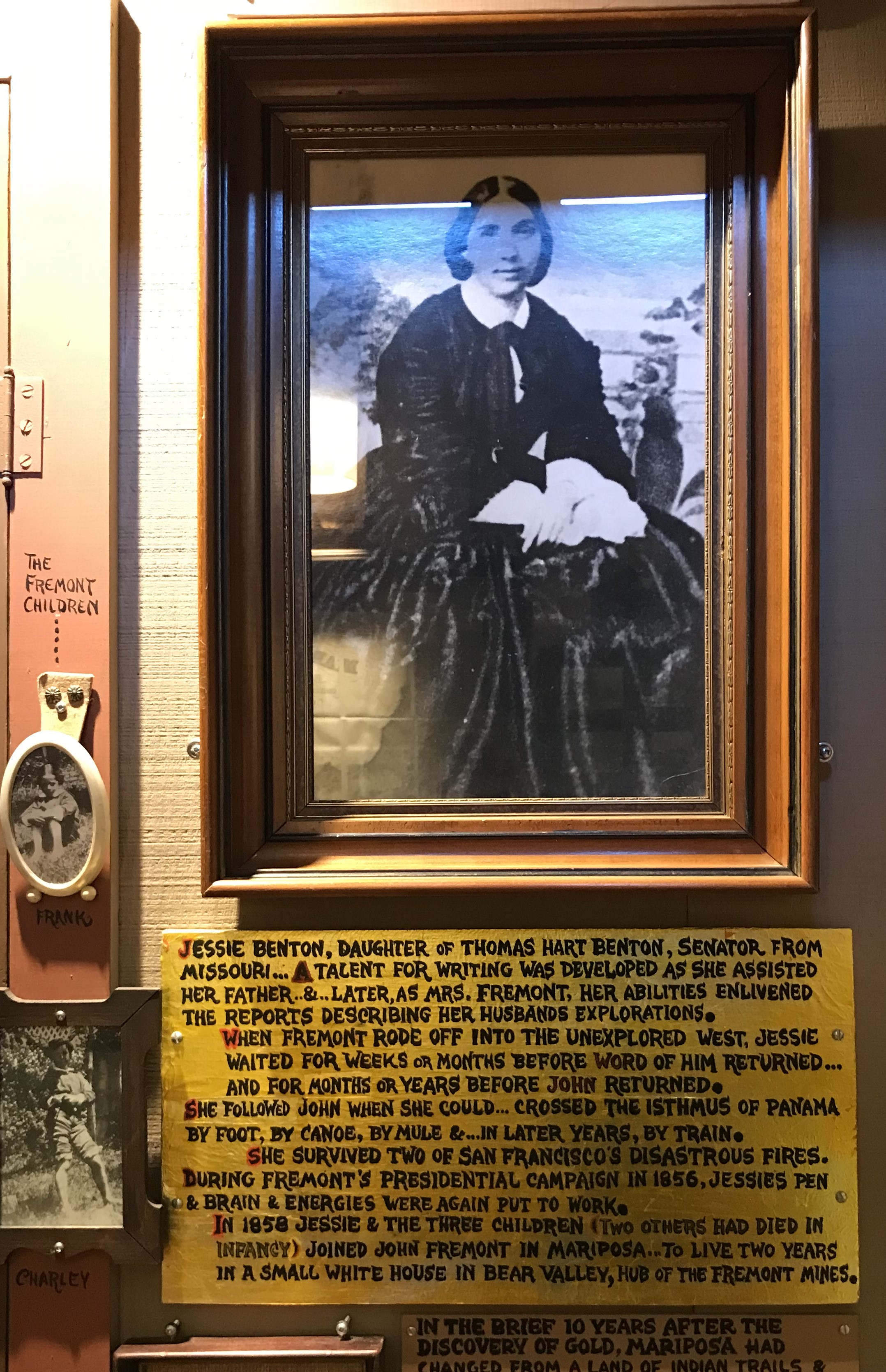
John C. Fremont and wife Jesse Benton. Fremont, born out of wedlock in South Carolina was a sailor, teacher, surveyor, explorer, topographer (known as “The Pathfinder”), Army officer. For a brief period after the end of the Mexican-American War was military governor of California , dishonorably discharged from the Army (later commuted by President Polk), rancher, gold prospector, Senator and defeated candidate for President. During the Civil War was appointed Commander of the Western Armies of the Union this lead to a lot of controversy because of Fremont’s personality and style, his questionable decisions led to Lincoln removing him. Fremont was nominated by a Republican faction to run against Lincoln in 1864. Was an absentee Governor of the Arizona Territory later years moved to Staten Island, NYC where at the age of 77 died of heatstroke on Sunday, July 13, 1890. https://en.wikipedia.org/wiki/John_C._Fr%C3%A9mont

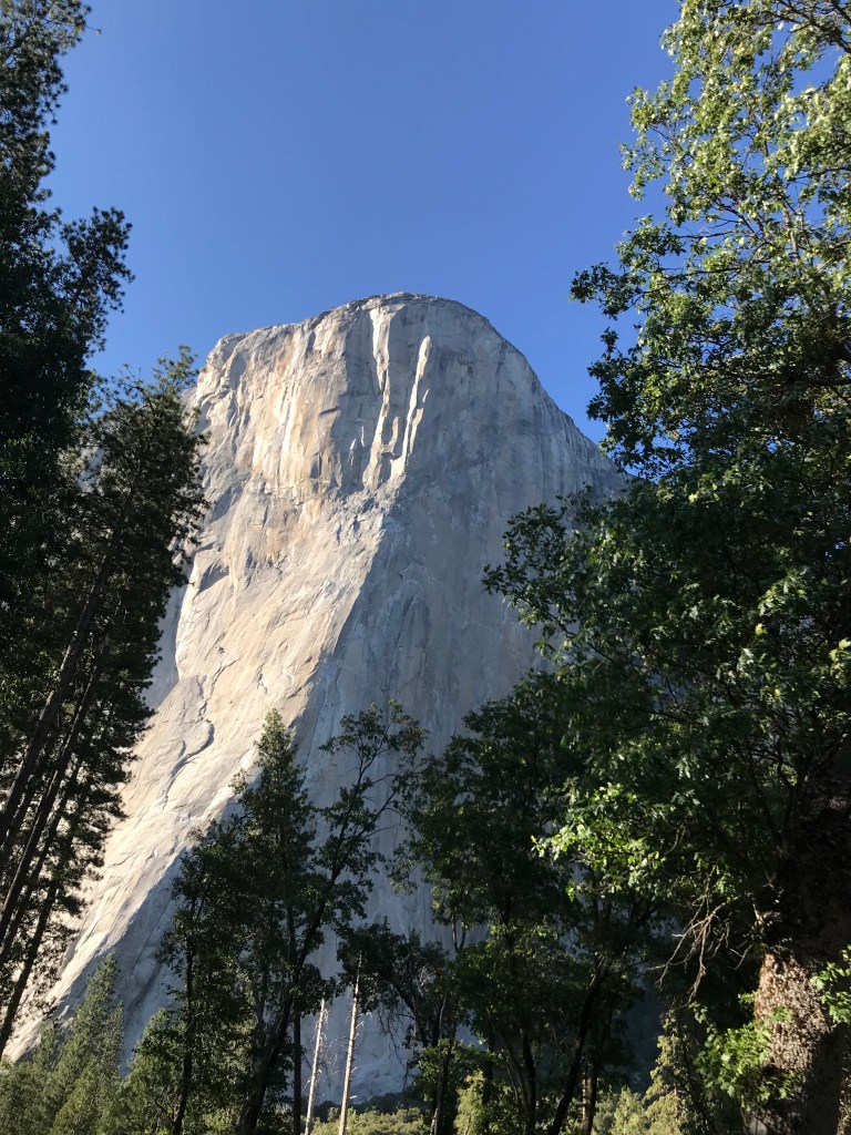
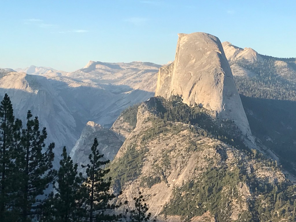
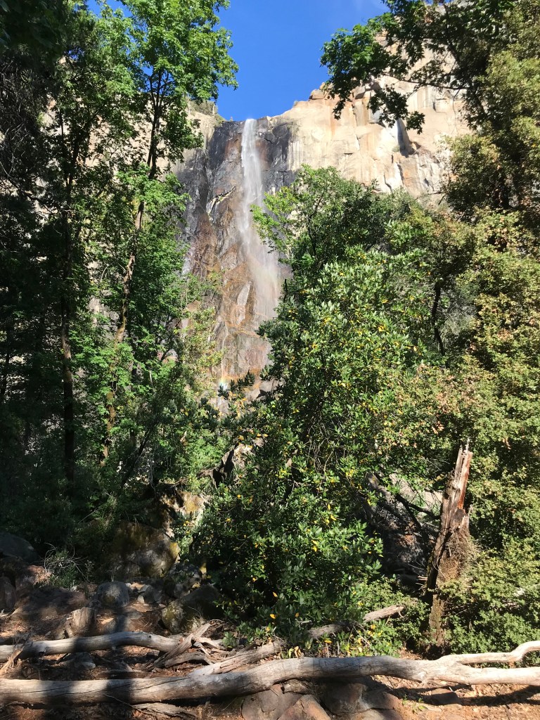
El Capitan, Half Dome, Bridalveil Fall, Yosemite NP 8/05/24

Early the next morning at Tunnel View overlook (8/06/24)

After the sunrose we drove to the Village Store and Grill for breakfast. Following breakfast we headed out the valley for Tioga Road and the hour and a half, 57 mile, ride through the middle of the Park- Crane Flat to Tuolumne Meadows.
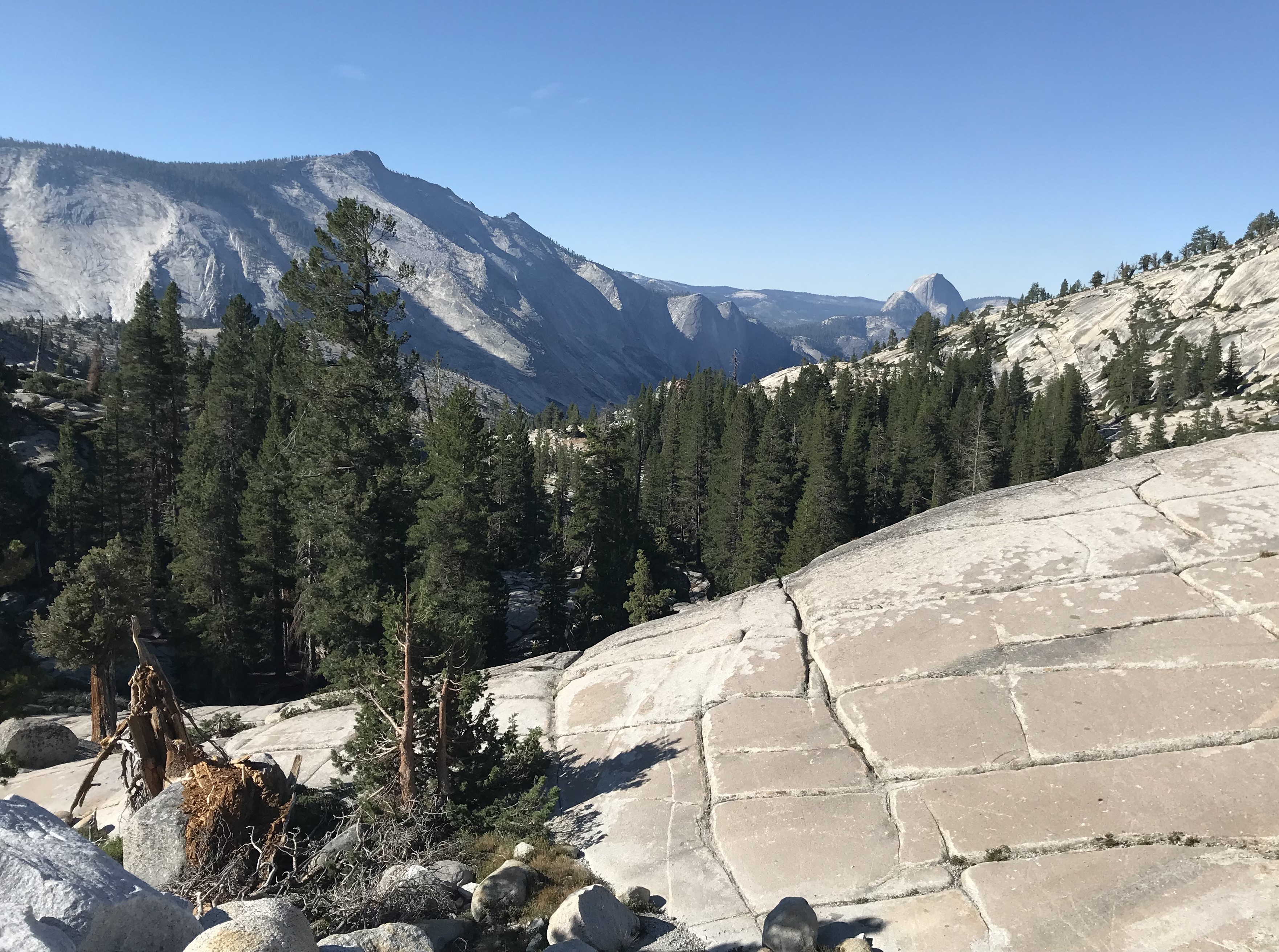
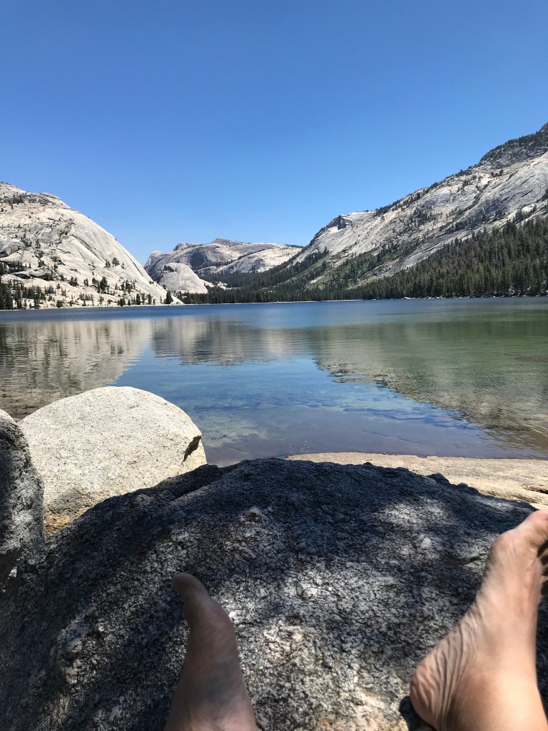
Tenaya Lake

Return to Tunnel View, afternoon 8/06/24

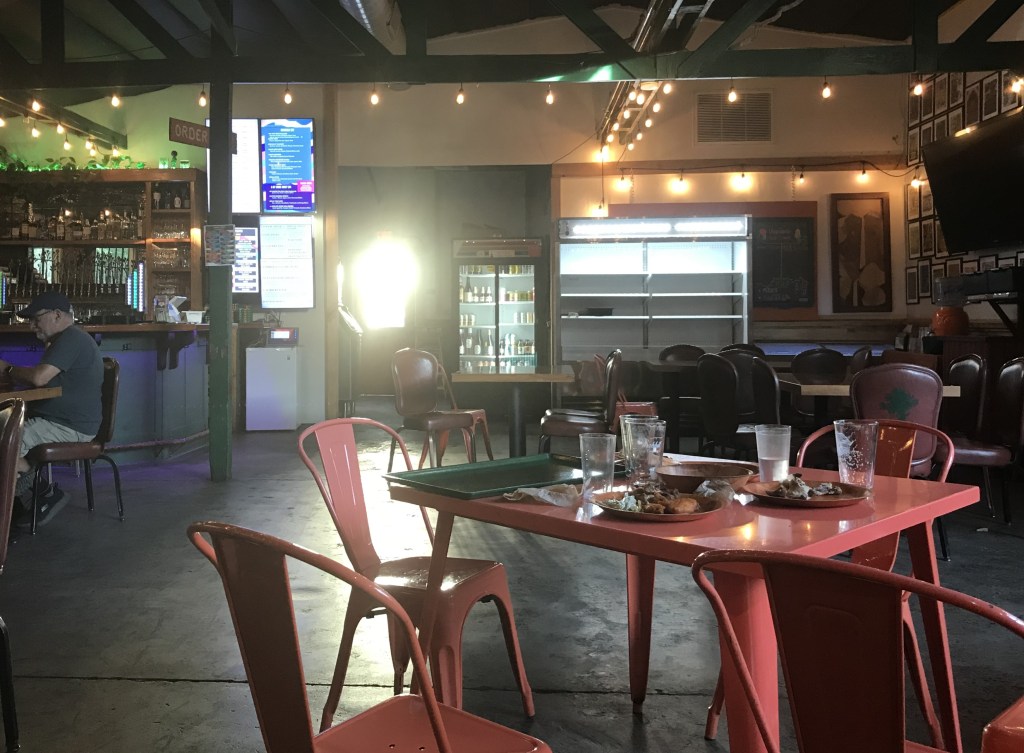
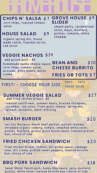
Returned to Mariposa for the night. Dinner was at The Grove House a “5 star” rated “restaurant.”😎

Menu:

I had the chicken sandwich, food was good. You had to “wait” and “bus” your own food and table, small staff of 2, bartender/order taker and a cook who was found in a small kitchen in a separate building in the rear of the yard. She also happened to be the cook for the breakfast Dave ordered the following morning at Sticks Coffee, 7th Street, Mariposa, CA.

“The 3 Pack”

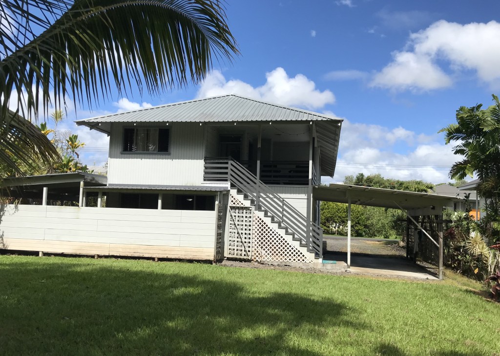
Home on The Ridge (8/13/2024 still settling in)

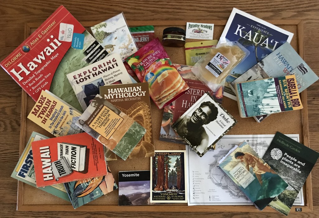
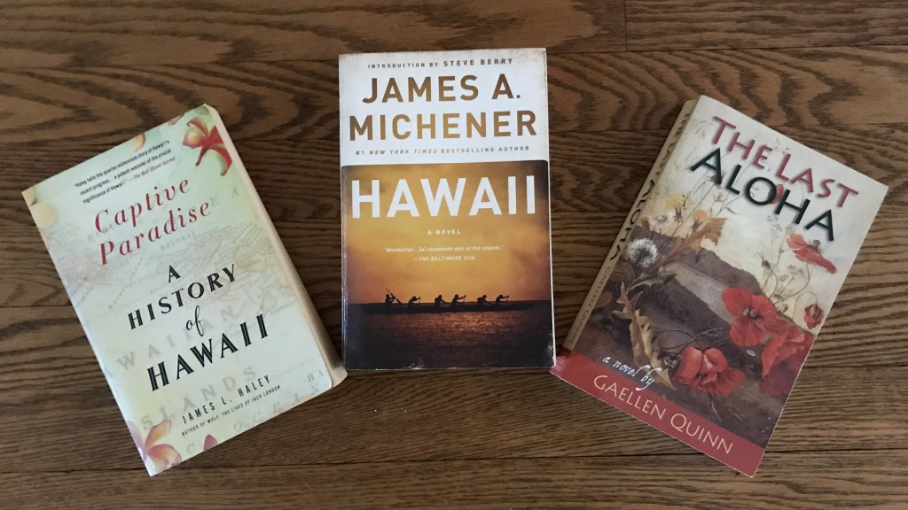
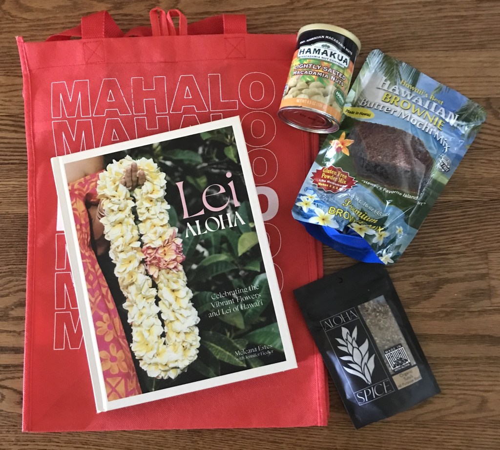
My travel library Hawaii sources, etc. from both visits to HI, Apr-Sept. 2019, May-Aug. 2024:

08/13/2024

AFTERWORD – FEELINGS AND CONCLUSIONS

ON MY 2 LONG STAYS IN HAWAII.

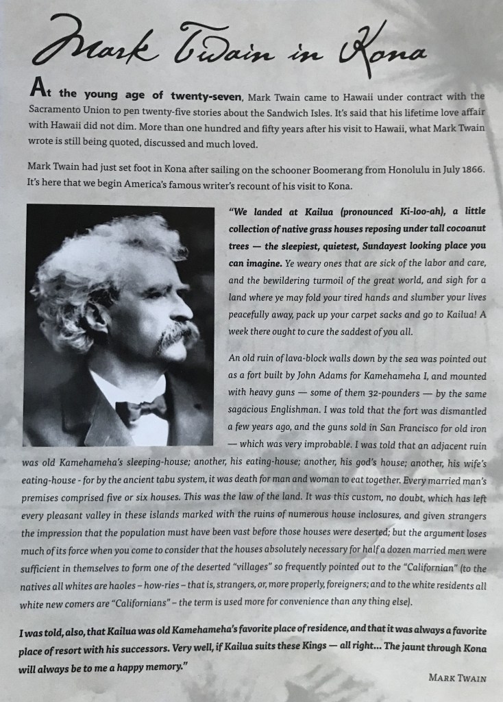
Mark Twain: Mark Twain (1835-1910) loved Hawaii. He spent four months exploring the Hawaiian islands in 1866 as a reporter for the Sacramento Union newspaper. His 25 letters about the Sandwich Islands (as he called Hawaii) were most Americans’ first information about Hawaii and were part of the beginning of Twain’s fame as a writer.

Twain called Hawaii “The loveliest fleet of islands that lies anchored in any ocean.”  Like me, he often thought about Hawaii when he was not there. That’s why my favorite Mark Twain quote about Hawaii is this one: https://www.mauihawaii.org/mark-twain-quotes-hawaii/

“No alien land in all the world has any deep strong charm for me but that one, no other land could so longingly and so beseechingly haunt me, sleeping and waking, through half a lifetime, as that one has done. Other things leave me, but it abides; other things change, but it remains the same. For me the balmy airs are always blowing, its summer seas flashing in the sun; the pulsing of its surfbeat is in my ear; I can see its garlanded crags, its leaping cascades, its plumy palms drowsing by the shore, its remote summits floating like islands above the cloud wrack; I can feel the spirit of its wildland solitudes, I can hear the splash of its brooks; in my nostrils still lives the breath of flowers that perished twenty years ago.”

Twain never made it back to Hawaii after those 4 months though he would always speak of his longing to return. His words ring loudly to my ears, head and heart. I had planned for years before my 2019 19+ week trip how I would go there and stay on Oahu, Hawaii Island, Maui and Kaui. I felt to get a flavor of living there I needed to go longer than a usual visit (though recommend if you plan to go make it longer than 2 weeks). After returning home to Maryland that first time I couldn’t shake the feeling that I wanted to stay longer so I planned a return, “some day.” Celebrating my 73rd birthday last December I made the decision to make my second trip this year. I went in 2019 with a budget in mind and with an intention of seeing how long I could make that amount last, did well with it only a few unforeseen expenses took me past the planned amount but didn’t change the time I thought I would stay. To leave on Easter Friday, April 19th and return the Saturday of Labor Day weekend. This time knowing the world has changed and inflation prices factor into where and when, I set an amount I estimated could help me stay longer than 19 weeks. As you know having read this far, after arriving in no time I found myself battling a head & chest cold that developed into a sinus infection. That knocked me back 2 weeks, one week doing very little other than reading and sitting by the pool. One irritating symptom was a constant cough, starting days before my stuffy head, it lasted well into June. It had me restricting how I went out to crowded places as I could not seem to get it under control and was more than a bit self-conscious of how others might react to it standing in the grocery aisle or in line somewhere sounding contagious (I wasn’t). I also had some concern how the cough could interfere with breathing through a snorkel tube so held off doing that until my cousin Jenifer came before going into the ocean. After the antibiotics took affect and I felt better my time on the Big Island was spent differently than when there in 2019. The first visit I spent 8+ weeks on the island staying in places at the 4 points: N-E-S-W spending my days exploring. This trip my plans would change early on when I then decided to stay for 82 days, leaving the last 12 days to enjoy beautiful Kauai.

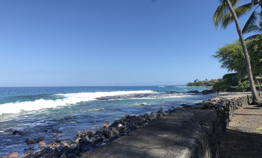
Spent 21 weeks total on Hawaii Island. I like the Big Island because for me it fits. Not crowded, the tourist places are spread out around the island, from Kailua-Kona, where I stayed for 19 weeks, it takes 1 1/2-2 hours to drive to Hilo and Volcanoes Park. An hour to drive north to Hawi also an hour to drive south to Ocean View add on another 1/2 hour to make it to South Point. I decided this time to stay south of Kailua town and within walking distance to the town or walk south to my favorite beach, Magic Sands. I made a few new discoveries on my walks, seeing more of the houses, taking the many paths from Alli’i Drive to the ocean finding spots for ocean watching, swimming, sunset views. Just not having the same sense of needing to do something more with my day in a new place that I felt in 2019. This trip I felt I could do what I wanted with my day. Car trip, walk, hike, sit on the beach, watch the tourists (ha, ha), to be a local or be a tourist, no plan. The time passed gently. Early on in my Makaha, Oahu 2019 stay I quickly settled into a bedtime that averaged to 9:30 p.m. Read a little then lights out. Waking before sunrise at the early morning light and before 5:30 a.m. I rarely stay up later than 10 since and on my return to the Islands this trip nothing has changed. Except an appreciation for AC in the bedroom as the night hours can tend to be a bit noisy with creature sounds, roosters crowing at 3 a.m. Whaa?

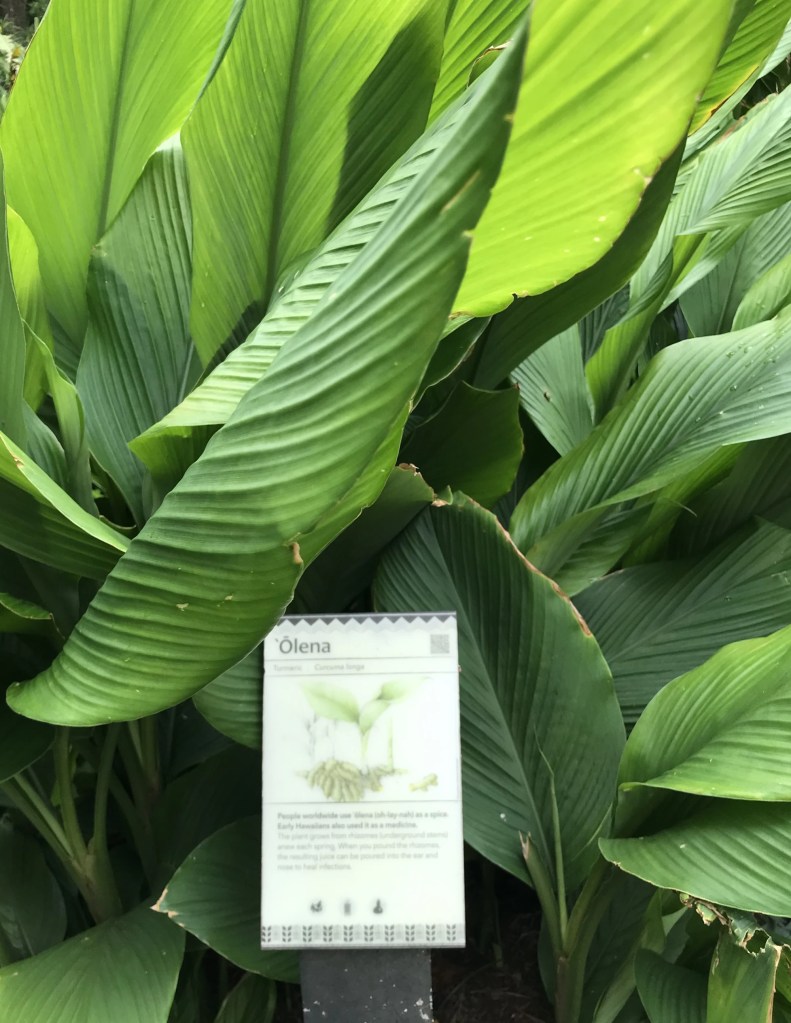
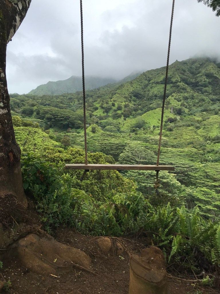
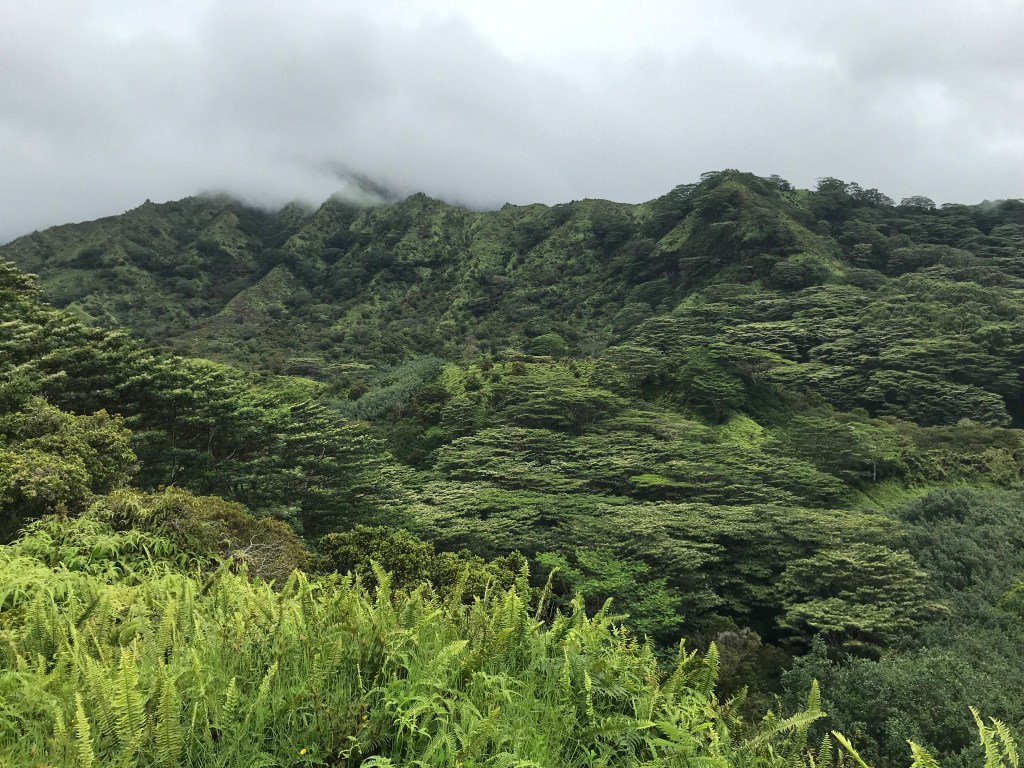
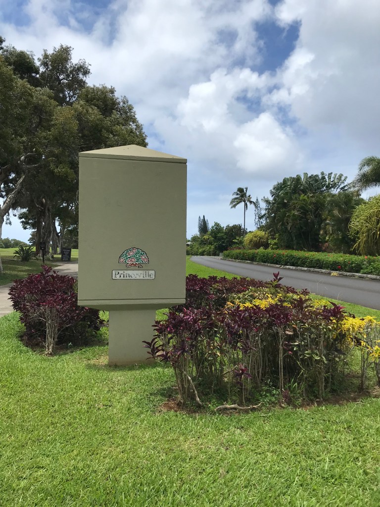
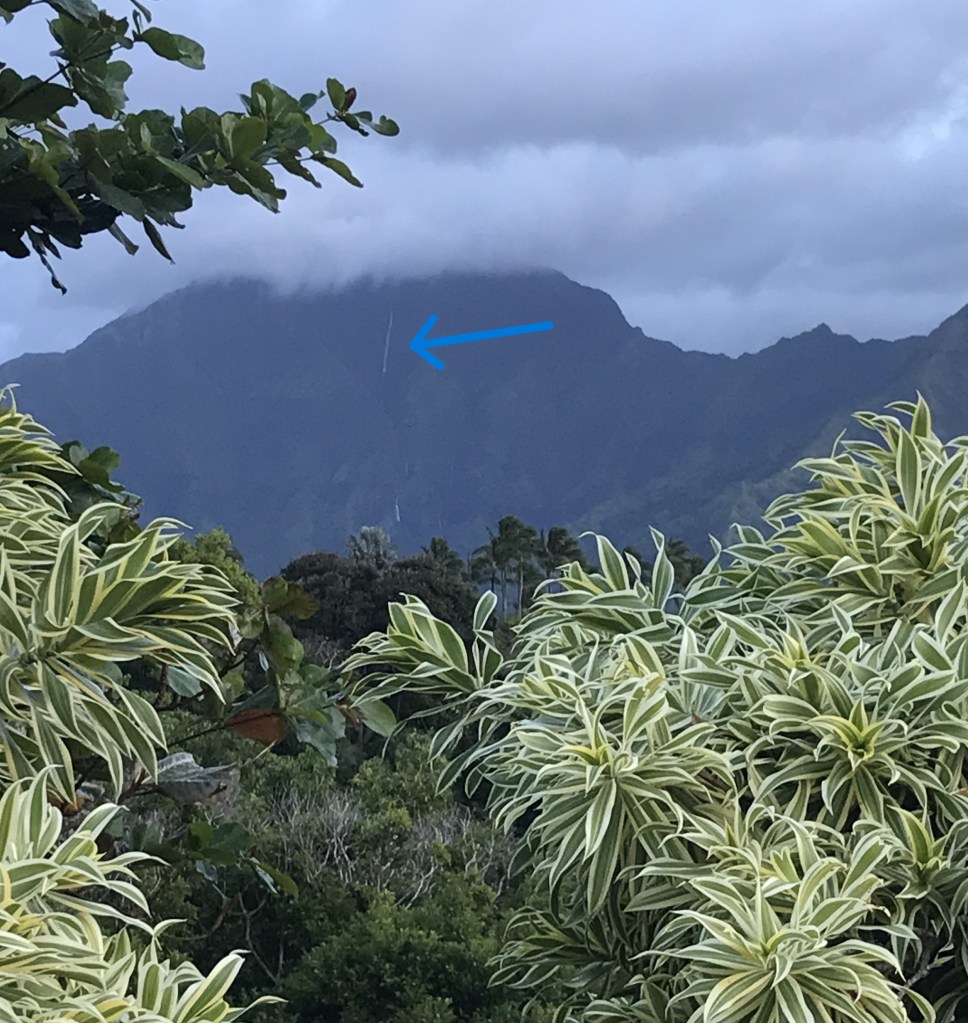
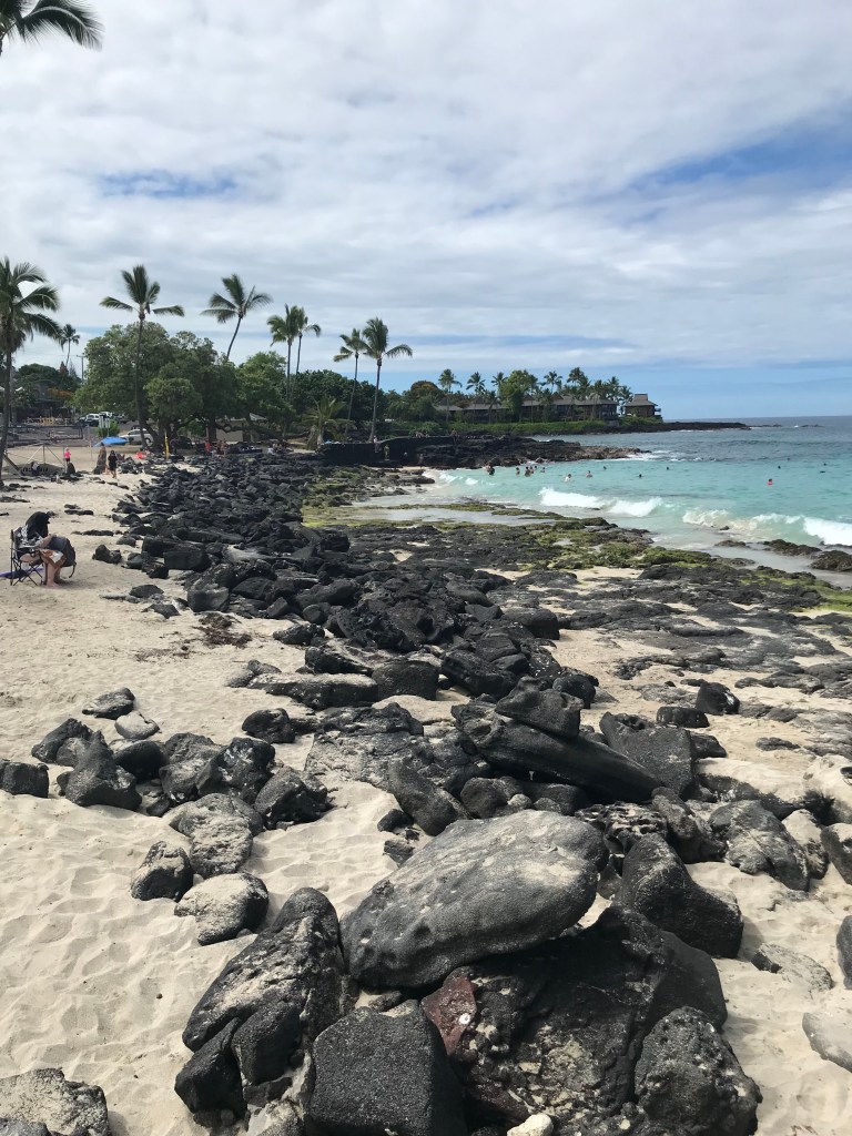
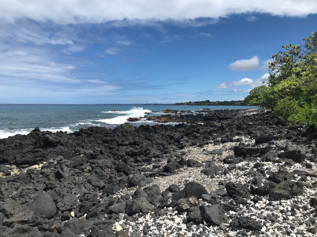
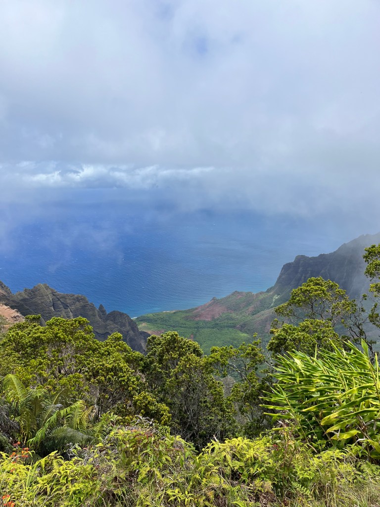
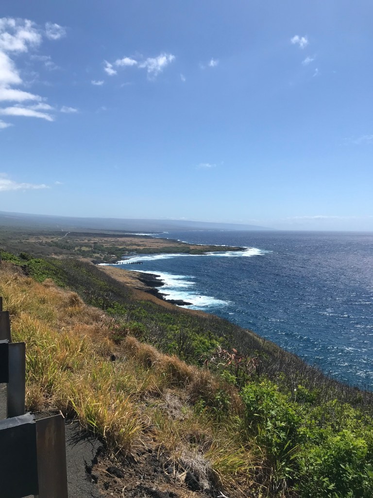
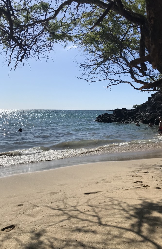
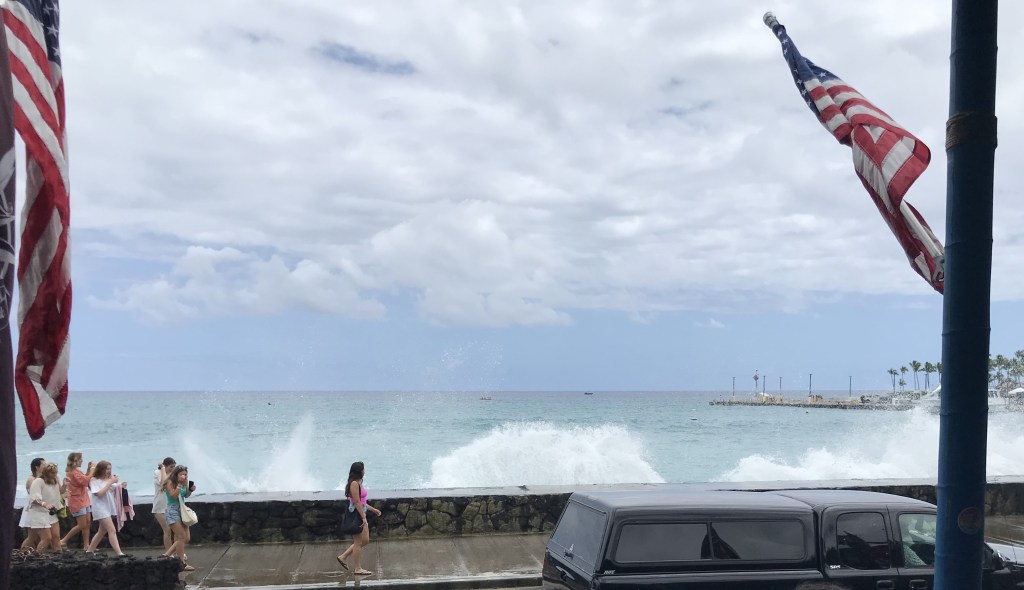
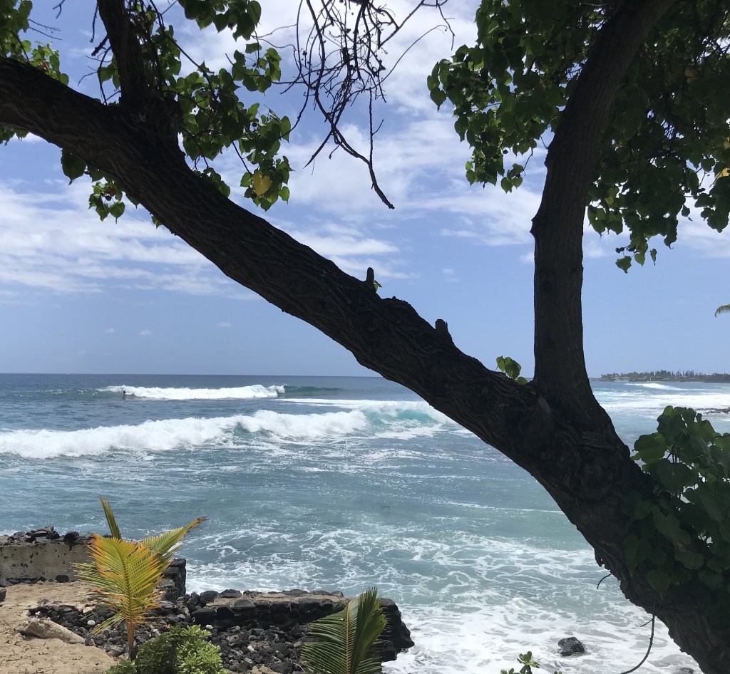
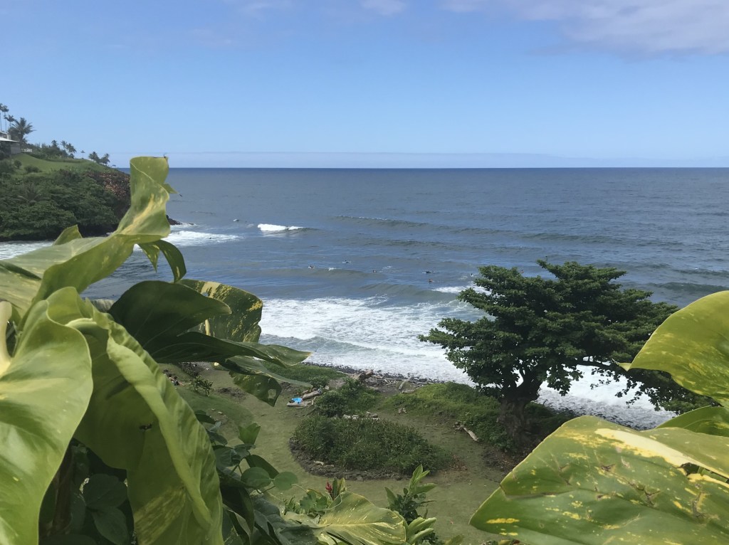
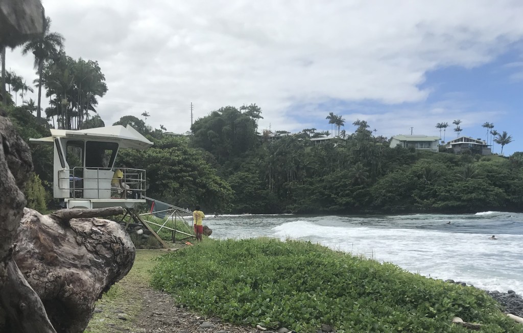
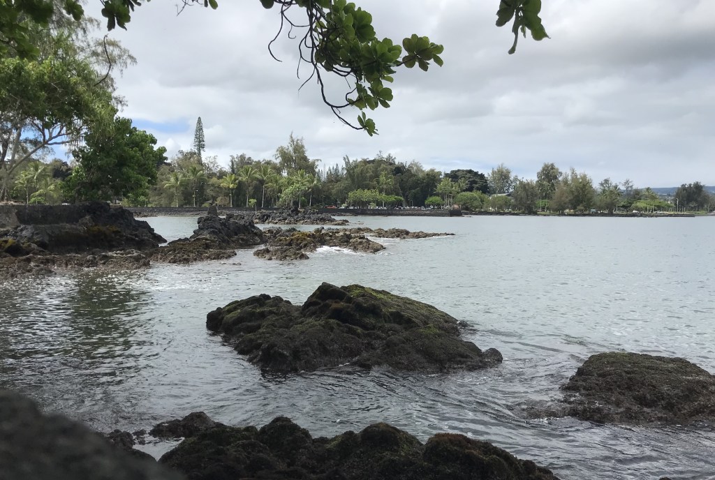
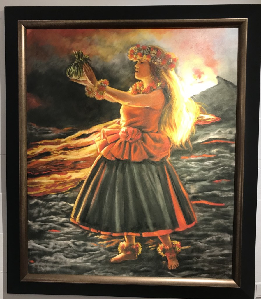
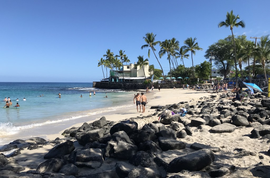
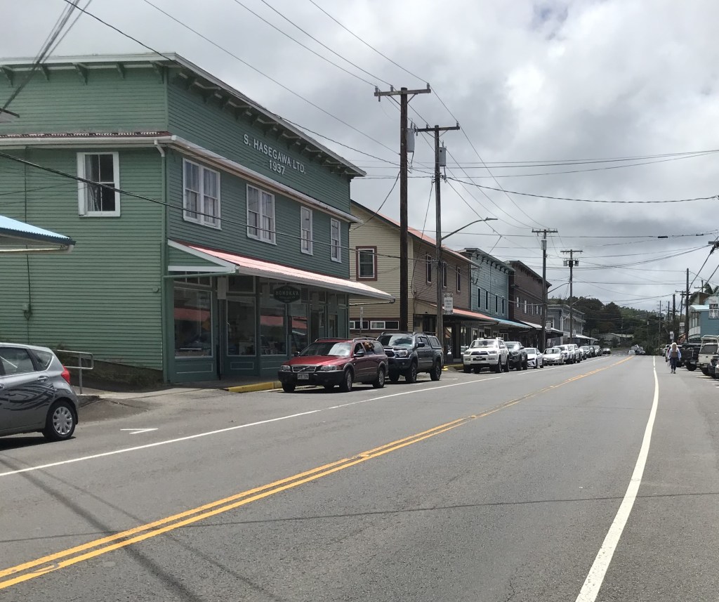
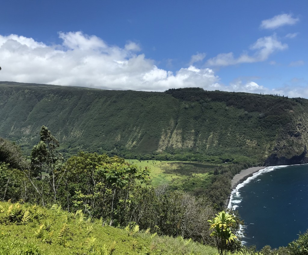
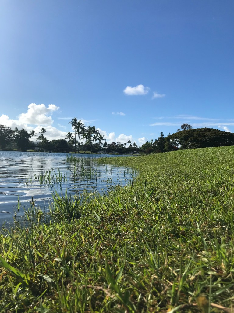
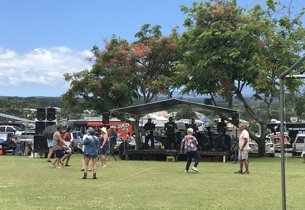
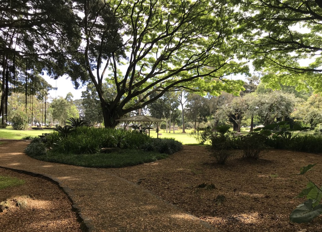
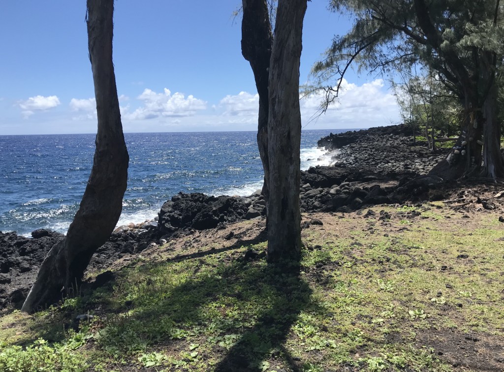
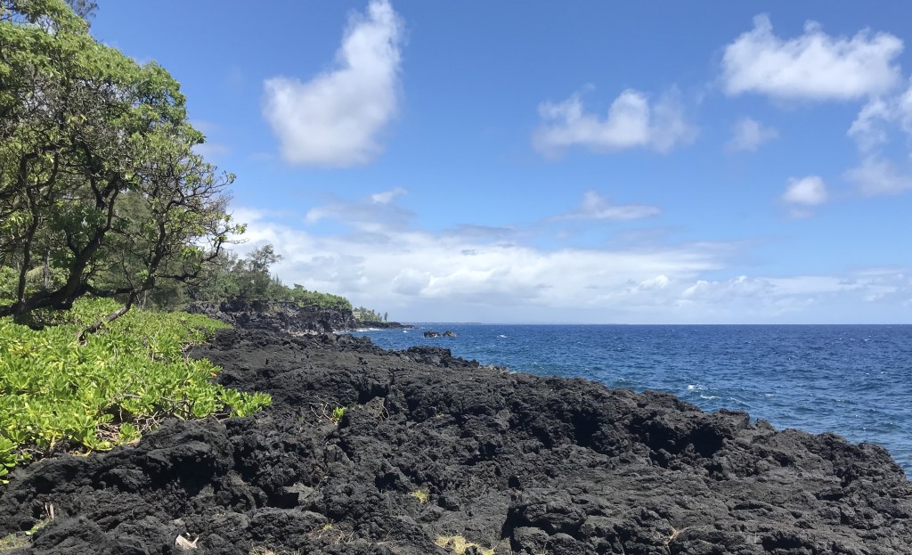
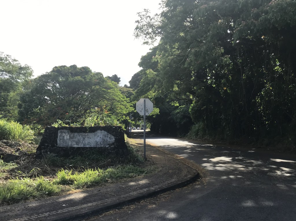
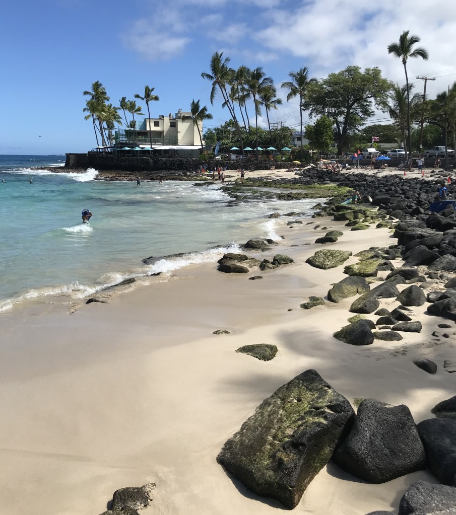
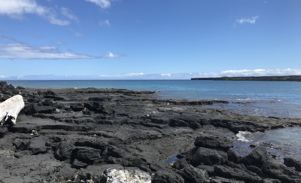
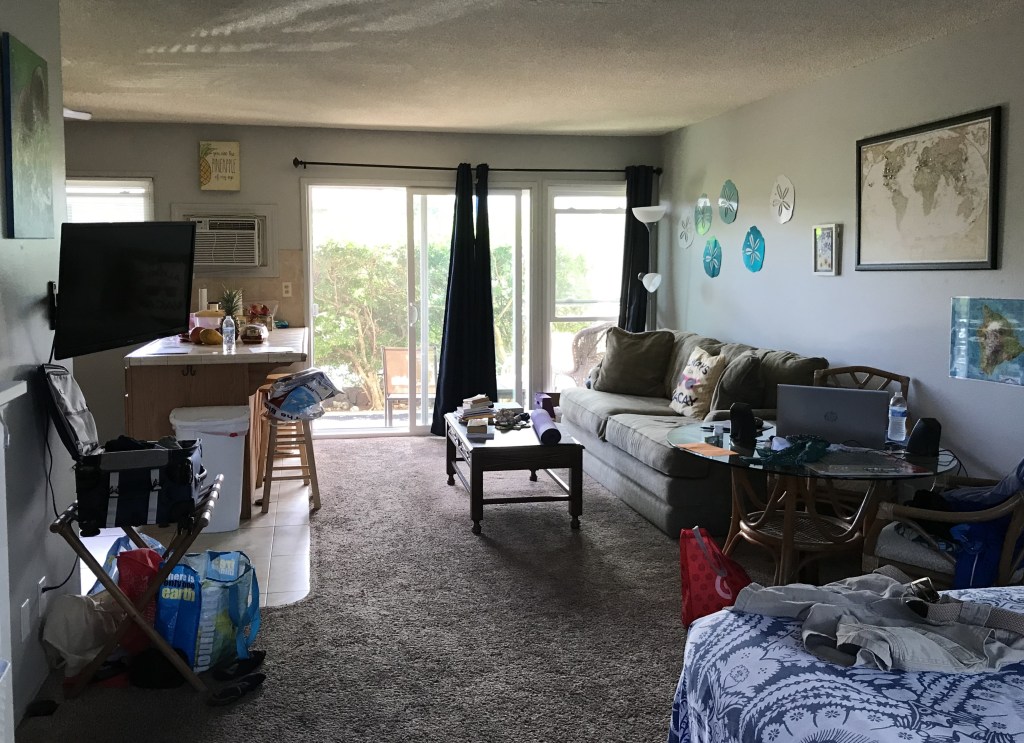
Kauai is a beautiful island. Much smaller than Hawaii Island there you can plan an easy day trip that takes you from one end of the island to the other and not feel rushed to do more on the way out or returning from. I’ve only spent albout 4 weeks on Kauai but this time she charmed me with her natural beauty. The beaches on Kauai are plentiful and varied, from Lydgate Parks rough surf to Hanalei Bay and Annini Beach’s gentle tides.

The people on the islands have changed some since the COVID outbreak. This time I noticed a bit more anger and aggressiveness, helpfulness not so freely offered as I found it in 2019, less of what islanders call “Aloha Spirit.” A pet peeve I have everywhere is our laziness, especially leaving trash wherever you stopped needed what it came wrapped around or holding when a trash can is a short walk away. Homelessness is not an obvious problem on both Hawaii and Kauai, though it has been a bother to the Hawaiian governments since 1830 when the Governor of Oahu begged an American Admiral to help him round up the naked “vagrants” who had jumped ship and where living off the land and bothering Hawaiians. The cost of living is high naturally because it’s a group of islands and most products are shipped in, though I did notice prices at the big brand national stores, WalMart, Target, Costco, are not that much different than here at home. Real Estate costs are very high, the locals are cornered by high market prices and higher rents. I did some research on a 2 mile stretch along the ocean side of Kona and found most of the properties were owned by out of state folks, mostly from West Coast states. Fewer than 20 % of the properties were owner occupied. The condo developments where I stayed most units were Airbnb type rentals, noticed many short term visitors. That is a problem everywhere but especially on an island because if you’re a local looking for an affordable home to own your places to look are few. Not like us here in the 48 interconnected states where if housing costs are high in one area of a county/state we can drive to the next county and look for property there. Islanders don’t have that choice. People who live on Kauai have only Kauai as the same with the other islands. Don’t know the best solution but if not solved in some way all the experienced and healthy workers will leave.

John Oliver: https://www.youtube.com/watch?v=j8DxdibHibU

Peace and Aloha, mahalo nui loa! Aloha and thank you for following me along my journey to and on Hawaii. Hope to see you sometime soon!

July 30, 2024

McBryde Garden, Kukulula HI

https://en.wikipedia.org/wiki/McBryde_Garden (90 minute drive from Princeville, had a 12:30 reservation time)

The drive from Princeville to the garden is along Highway 56-50 and passes through Kapaa. This morning a side road is closed which leads to a long back up as the traffic is held to a slow crawl due to traffic light timing. Still made it on time.
Lawai Stream Path

Garden Tours https://ntbg.org/

Book your Kauaʻi garden tour today! Best of Both Worlds Enjoy the greatest sites and … Continue reading Garden Tours

National Tropical Botanical Garden

Allerton Garden (much longer tour if we added this garden to the McBryde time as there were other things to see on the way back to Princeville)

July 28, 2024

Kuilau-Moalepe Trail

Aloha! Today we combined the Kuilau and Moalepe Trails into one 6 mile through hike. Laura and Eric will meet me 1/2 way along the Moalepe part. The hike begins and ends at 2 different places to do the combined parts 2 cars are needed. I did the Kuilau 1/2 in 2019 and wanted to do the Moalepe part this trip so I dropped Laura and Eric at the Kuilau trailhead then drove to the parking area at the Olohena-Waipouli Road bend.

On our return to Princeville a brief stop at Lydgate Beach Park

Also Kilauea Point Lighthouse overlook (park closed today).

Lumaha’i Beach west of Hanalei along the Kuhio Highway coast road. The beach is considered unsafe for both surfers and swimmers. From the tree line to the ocean must be 200 yards wide, amazing! There are other more safe beaches along the Kuhio Highway to Haena Beach. Whether or not one stops and stays at a beach the ride itself is a tropical treat. https://en.wikipedia.org/wiki/Lumaha%CA%BBi_Beach

July 19-27, 2024

A few photos of my last 2 days on the Big Island – Hawaii

Holualoa Bay – Kamoa Point Complex https://en.wikipedia.org/wiki/Holualoa_Bay

The bay is located in between my Kona stays and Magic Sands Beach and can be seen from our Royal Kahili lanai. While on the many walks I’d taken on Ali’i Drive I would notice a stone wall just off the road, at the south end there is a beach access path and this day decided to see where it went. Walking in the heiau outline became obvious even through the thick growth. Research later turned up the history of the bay and the area. Fascinating!

Sunday a.m. my Hawaiian Air flight from the Big Island to Kauai. Dropped Jen off for her flight to Honolulu then on to Australia/Thailand. Had a coffee to kill an hour wait then returned to the airport, dropped off the car and checked in to Gate 9, direct to Lihue, Kauai. As I made my Kauai car rental before I worked out my flight I had a 4 hour gap to fill once landing on Kauai before I picked up the car. Fortunately the car rental agent was very understanding and changed my times so I didn’t have to wait until 3:30.

Kauai, HI July 21, 2024

July 13-18, 2024

Trip to South Point

Ka Lae (Hawaiian: the point), also known as South Point, is the southernmost point of the Big Island of Hawaii and of the 50 United States. The Ka Lae area is registered as a National Historic Landmark District under the name South Point Complex. The area is also known for its strong ocean currents and winds.

Monday July 15th:

July 5-12, 2024

Honoli’i Beach Park, a few miles north of Hilo. https://www.hawaiibeaches.com/beach/honolii-beach-park/#google_vignette

Not for swimming as the waves break on the rocky shore. This place is a favorite for local surfers and boogie boarders (6 year old girl not more than 3′ tall walks past me with her board heading to the “beach” to ride into the waves, impressed!)

July 6th my young cousin Jen and her boyfriend Reese join me for the next 2 weeks.

Hilo stay. Street view, 2nd floor unit.

‘Ohi’a-Lehua tree. In Hawaiian mythology, ‘Ōhi’a and Lehua were young lovers. The volcano goddess Pele fell in love with the handsome ‘Ōhi’a, but he turned down her advances. In a fit of jealousy, Pele transformed ‘Ōhi’a into a tree. Lehua was devastated. Out of pity, other gods turned her into a flower on the ‘ōhi’a tree.

Volcanoes National Park.

Mauna Kea is unusually topographically prominent for its height, with a wet prominence fifteenth in the world among mountains, and a dry prominence second in the world, after only Mount Everest. It is the highest peak on its island, so its wet prominence matches its height above sea level, at 4,207.3 m (13,803 ft). Because the Hawaiian Islands slope deep into the ocean, Mauna Kea has a dry prominence of 9,330 m (30,610 ft). This dry prominence is taller than Mount Everest’s height above sea level of 8,848.86 m (29,032 ft), so Everest would have to include whole continents in its foothills to exceed Mauna Kea’s dry prominence. https://en.wikipedia.org/wiki/Mauna_Kea

Volcano Art Center Gallery in the former 1877 Volcano House Hotel. https://www.nps.gov/havo/learn/historyculture/volcano-house.htm

https://www.nps.gov/havo/learn/nature/2018-eruption.htm

July 2-4

Drive up the coast to Waipio Valley and Honoka’a Town.

What so impresses me on this drive that, after reading Isabella Byrd’s account of her time on Hawaii Island and her traveling on horseback in 1873 from Hilo to Waipio Valley in Hawaii’s wet season just how fearless she was. There are many, many of these “gulches” on the way she had to negotiate.

Waipio Valley overlook.

Fireworks Fourth of July

Earlier:

July 1, 2024

Moved to Hilo on the windward side of Hawaii this past Saturday (29th). Place I’m staying is the same but different than the last. The condo/apartment complex is smaller seems older when looking around the grounds and the buildings, will do some research see what comes up. The one room space has a screened lanai but on ground level so I need to close up at night, no AC in this one though not necessary on the windward side. Chickens are part of the grounds maintenance crew, though not doing a good job with the grass trimmers, can’t find the sidewalk??? As I mentioned old places, not a lot of money spent on upkeep, it’s safe within walking distance of town and a beautiful park. Near the airport, which is the second of two serving Hawaii though not as busy as the Kailua-Kona airport. Posting pics of what I’ve been doing around Hilo yesterday and today.

One of the finest Art Deco buildings in Hawaii, this three-story, polychrome, terra-cotta-clad building is an imposing presence on Kamehameha Avenue. The reinforced-concrete structure retains its bronze marquee with chromium name plates, and the original first-floor soda fountain remains intact. This store was the 228th Kress store built in the nation and the second in Hawaii following the introduction of the chain to Honolulu in 1931 (that building is demolished). The ell wing was added in 1954 and provided access from Kalakaua Street. Sibbert was a staff architect for S. H. Kress and Company from 1929 through 1954 and designed a number of distinctive Art Deco Kress stores in the United States.

Note this building still stands after 3 tsunamis hit Hilo in 1946, ’60 and ’75.

If you spot the “x” lower middle, that’s the location of my current stop map is for street locations for my walkabouts. The Queen Liliuokalani Gardens is just to the right inside Banyan Drive.

😎🐟🧜‍♂️🚣‍♂️

Kamehameha statue on the Avenue just near the park close to where I’m staying.

Wailoa River Park view is from a spot near the parking lot of my complex. I walk out of my room to start a walk around that can take me to Lilioukalani Gardens and Banyan Drive.

Mile zero marker at the beginning of Highway 11, Mamalahoa Belt Road, a 125 mile drive around the East, South and West sides of Hawaii Island from Hilo to Kailua-Kona. Starts at Bayfront Highway and the east end of Banyan Drive. (Not my bike.)

Shoreline along Government Beach Road, East of Pahoa and near the Easternmost corner of the island. (windward side, the shoreline faces NE).

Popular words for Hawaii Islands are beautiful, paradise, breathtaking and wondrous just to use a few. Those descriptions can be seductive in a way that give an impression of otherworldly and not like I might see when home. There is another side of Hawaii because 187,000 people live on this island, where they work, play and for some just try to get by as the cost of living is very high. The photos that follow are not posted to show anything other than for many living here, regardless it’s many beautiful qualities, life isn’t that easy.

It’s not uncommon to see a lot of “abandoned” vehicles, the one on the left looks to be in the “used for spare parts” stage. My unit in the Hilo Village Apartment complex is just inside (arrow) the entry, first floor corner apartment. The radiator was removed sometime last night. Units being privately owned are well kept on the inside but on the outside there doesn’t appear to be much in the way of grounds care.

Dirt lane, Maile Street shortcut I took on today’s walk brought back fond memories of my 1972, 6 month stay in the Philippines. Chickens and dogs and potholes. Behind me are apartment buildings where I imagine the small sized units being built were to provide housing for folks who worked in Hilo shops. Families continue to live in these expensive yet cramped apartments.

Along Banyan Drive, formerly Uncle Billy’s Hilo Bay Hotel now closed and under State ownership apparently squatters are using some of the rooms. https://bigislandnow.com/2022/11/11/old-uncle-billys-hilo-bay-hotel-to-be-demolished-next-year/

Tourism as a principle economy is complicated especially when investors and the government agencies don’t agree. Unfortunately leaves a bit of a black eye on what should be a robust visitor area next to parks, near downtown and with ocean front, sunrise views.

June 26,2024

Aloha! Beautiful early morning at Magic Sands Beach. I arrived at 8:30 to wade in joining a small group of swimmers and floaters. The ocean was refreshing and fun to be in again! Shortly after getting out standing on the beach noticed more and more folks in the water, getting crowded, they’re soon joined by a turtle who didn’t seem to mind all the legs and bodies. Swimming and rolling in the waves, along the shore, left and right, in and out. Rules are to give sea life space but folks couldn’t avoid it as the turtle was invading everyone’s space🐢🙃!

Got a haircut!

June 24, 2024

Magic Sands Beach June 23rd the ocean is returning sand. Fascinating.

Following series of photos are street views of downtown Kailua. Kailua was Kamahameha the Great’s capitol once he defeated the neighboring Big Island chiefs, after the Heiau was constructed and he was given the priests blessing he then went on to defeat the chiefs of neighboring Maui and Oahu (had some help with strategy and cannons, that’s another story) then unifying the major islands. For a short time Lahaina on Maui was the trading center and a part time capitol until, because of it’s safe harbor for foreign merchant ships to unload cargo, Honolulu became the capitol of the islands as it still is. (The photo sequence goes from South to North along Ali’i Avenue).

In late August of 1823 William Ellis visited Kiholo Bay a small fishing village on the West Coast of Hawaii Island 19 miles north along the shore from Kailua. Near the end of his journey of circling the Island he traveled almost exclusively by canoe which was subject to ocean conditions, sometimes needing to stop until the water had calmed where they would continue whether it be during the day or under moonlight, he was determined to arrive prior to sunrise on Sunday the 24th. Ellis describes Kiholo as a straggling village inhabited principally by fishermen. It’s draw for tourists like myself (and Islanders too of course) is as Ellis writes “This village exhibits another monument of the genius of Tamehameha. A small bay, perhaps half a mile across, runs inland a considerable distance. From one side to the other of the bay, Tamehameha built a strong stone wall, six feet high in some places, and twenty feet wide, by which he had an excellent fish-pond, not less than two miles in circumference.” https://bigislandguide.com/kiholo-bay

Sometimes maps can mislead. Wanting to visit the Bay I read one review (not enough of a source) and looked for access roads on Google maps, thinking I could drive to a parking lot at the end of the dirt road and walk on to check out Kamehameha’s pond I arrived later than I should have (rain chased me north changing my morning, in the end didn’t matter) to find out that the road that allows the few houses and resort compounds ingress and egress to the highway is kapu to tourists and outside visitors so I had to trek in 1/2 the way, as I didn’t prepare properly not bringing enough water and starting too late the photos will show the long view to Kamehameha’s Fish Pond. Maybe another time if I can fit it in. For this hike I should allow at least 4 hours and start early to end by noon and avoid the afternoon heat as most of the way is not shaded. At least more than a bottle of water. Did not see turtles, or sharks as I was told by someone who works at the resorts.

A few photos of Kiholo Bay.

Goats outnumber people.

Blue arrow points to part of the fishpond wall. The full hike would have taken me to the hump at the far end of the bay and in the middle of the photo.

My first seven weeks I stayed at a nice 2 br second level corner condo unit. Always a breeze, used the AC only at night for sleep. Quiet, next to one of the two community pools and within walking distance to town, also a short walk to the ocean side to watch sunsets. I was fortunate to work out additional time as my original plans changed and I didn’t need to travel to the Hilo side of the Island until the end of the month so my hosts let me stay on and gave me a discount on their rate. Made life a lot easier for me because I was returning one car for another and if I had to move would have had to pack my stuff into one car then unload to the second that I’m using now and then to find my second place, blah, blah. Glad they came through. Mahalo nui loa Ron and Lori! Didn’t get an inside shot there did take one at this new place which as you’ll see is a one room layout (can’t believe families live in these tiny spaces!!).

[It, from appearances, has some age maybe built around the ’70’s? And, just guessing here, rented as holiday efficiencies to folks who came to laid back and boring Big Island just to relax. Then the ’80’s came along and the idea of buying up resort properties like this one and turning them into individual condo units became the rage that it still is. Investors didn’t put a lot of money into replacing or repairing things from what I’m seeing, sold to either home buyers or vacation rental investors who I think are the folks who own the first floor 5′ from my parking space unit shown here in this inside shot:] So this paragraph is changed, since writing it I’ve spoken to the couple who own and rent the unit next door and who sold the one I’m staying in. These small vacation apartments where built in 1971 and sold to individual buyers as vacation apartments. Didn’t get much more than that from them as they were busy cleaning for their next guests.

On the wall map to the right (and one not shown) I counted 115 pin points where visitors had pinned their 24 countries on 5 continents. On a 2nd map out of the photo to the right I counted 36 States including Oahu, Hawaii. “Towson”, what a surprise, got a lime green pin. Cozy place just 2 blocks from where I was, reminds me of the first place I stayed in 2019 at Makaha near the west point of Oahu Island. If you don’t want to blow through your travel budget finding places with a kitchen is a must for me.